Amazon Floods: 25 Municipalities Remain in Emergency, Affecting Nearly 293,000
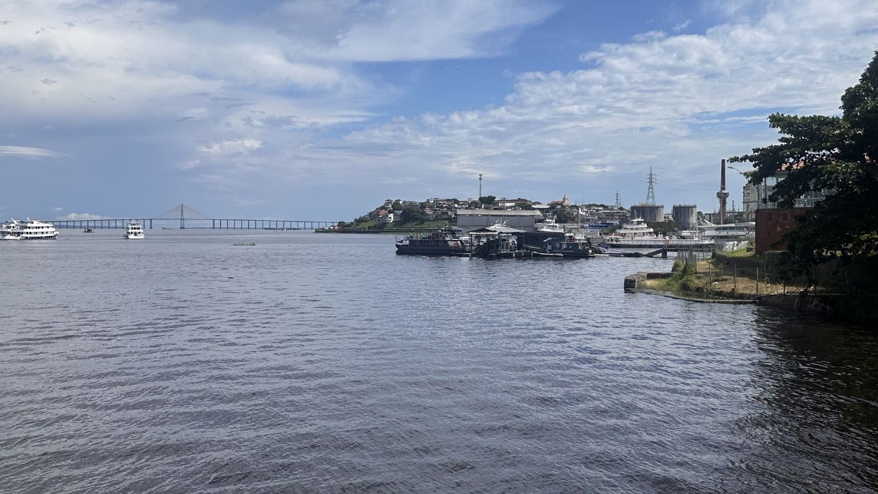
Nearly 293,000 people have been impacted by river flooding in the Brazilian state of Amazonas, according to a government report released on Wednesday, November 1st. Currently, 25 municipalities are under a state of emergency, with an additional 18 on alert and 19 in a state of attention. Humanitarian aid, including food and equipment to ensure access to safe drinking water, is being prioritized in the most affected regions. The Amazonas State Government has dispatched 598 tons of humanitarian aid to municipalities along the Juruá and Purus river basins as part of the "Cheia 2026" operation. This aid includes 26,000 basic food baskets, with 14,000 designated for Juruá municipalities and 12,000 for Purus. The Amazonas Civil Defense has also supplied 148 water purification kits to 23 municipalities to guarantee potable water for flood-affected residents. River levels are showing signs of stabilization in some areas, transitioning from the flood period to the receding phase. The 26th Hydrological Alert Bulletin for the Amazon Basin, released by the Brazilian Geological Service (SGB) on Tuesday, October 30th, indicates that while rivers remain high, stability is emerging. The Negro River in Manaus is at 28.50 meters, stable and slightly above the historical average for this time. Some points on the Solimões River have seen levels drop, with Tabatinga reducing by 1.69 meters and Fonte Boa by 0.21 meters, while Manacapuru remains stable. The SGB also noted stability in parts of the Amazon River basin, with reductions in cities like Itacoatiara and Parintins. The Madeira River, however, has seen levels recover, with an increase recorded in Humaitá.
The recurring severe flooding in Amazonas highlights systemic challenges in adapting to climate change's intensifying hydrological cycles. While humanitarian aid provides immediate relief, the scale of affected populations suggests a need for long-term infrastructure resilience and updated land-use planning. The report's mention of stability in some river levels, juxtaposed with the ongoing emergency declarations, points to the complex and dynamic nature of these flood events. Future strategies must consider the increasing frequency and intensity of extreme weather, potentially exacerbated by phenomena like El Niño, and their disproportionate impact on vulnerable riparian communities. Proactive measures, informed by geological and hydrological data, are crucial for mitigating future risks and ensuring sustainable development in the region.
AI-generated to prompt reflection — not editorial opinion, not advice, not a statement of fact. How this works.