Atmospheric Rivers to Bring Severe Storms to Southern Brazil This Weekend
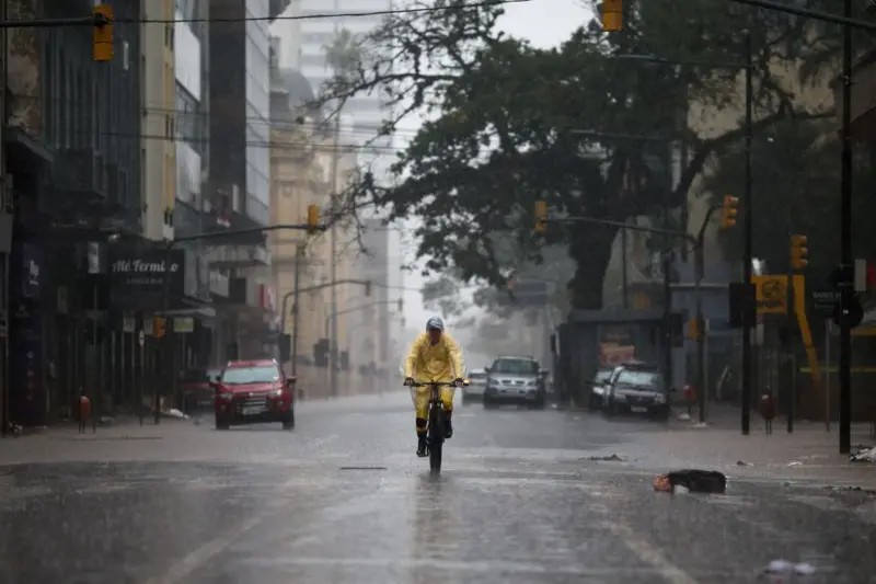
Southern Brazil is bracing for severe storms, including potential hail and wind gusts of 60 to 100 km/h, starting Thursday, July 16th. The National Institute of Meteorology (Inmet) has issued a severe thunderstorm warning for western and southern Rio Grande do Sul, with conditions expected to worsen by Friday and Saturday. A broader warning now covers nearly all of Rio Grande do Sul, including the Porto Alegre metropolitan area. A key factor contributing to these storms is the Low-Level Jet (JBN), commonly known as "atmospheric rivers" or "flying rivers." This phenomenon is an intense wind current that transports warm, moist air from the Amazon to South-Central South America, fueling storm formation. When the JBN interacts with frontal systems from the south, it increases atmospheric instability and moisture convergence, leading to severe thunderstorms. The National Center for Monitoring and Alerting of Natural Disasters (Cemaden) also forecasts heavy rains, with a cold front expected to remain stationary from Thursday until Monday, causing consecutive days of significant rainfall. While "flying rivers" will have some influence, their contribution is typically less significant during the winter season due to lower moisture transport from the Amazon. Meanwhile, Chile is also anticipating powerful atmospheric rivers, potentially reaching category 4 or 5, bringing extreme rain, storms, and heavy snowfall to the Andes. These atmospheric rivers, long columns of water vapor originating from the tropics, are crucial for regional rainfall patterns and agriculture, though they are becoming more intense and potentially destructive due to global warming.
The forecast highlights the increasing intensity and impact of atmospheric rivers, a phenomenon exacerbated by global warming. These "flying rivers" are critical for delivering moisture to regions like southern Brazil and the Andes, influencing agriculture and water availability. However, their amplified power, driven by warmer global temperatures leading to increased atmospheric water vapor, poses a growing risk of extreme rainfall, flooding, and landslides. The interplay between these atmospheric rivers and frontal systems underscores the complex weather dynamics at play. Understanding these systems' behavior and their connection to climate change is crucial for developing resilient infrastructure and effective disaster preparedness strategies in affected regions, particularly as these events are projected to become more frequent and severe over the next decade.
AI-generated to prompt reflection — not editorial opinion, not advice, not a statement of fact. How this works.