Attica Region: 38% of Forests Burned in 9 Years, Shocking Map Reveals
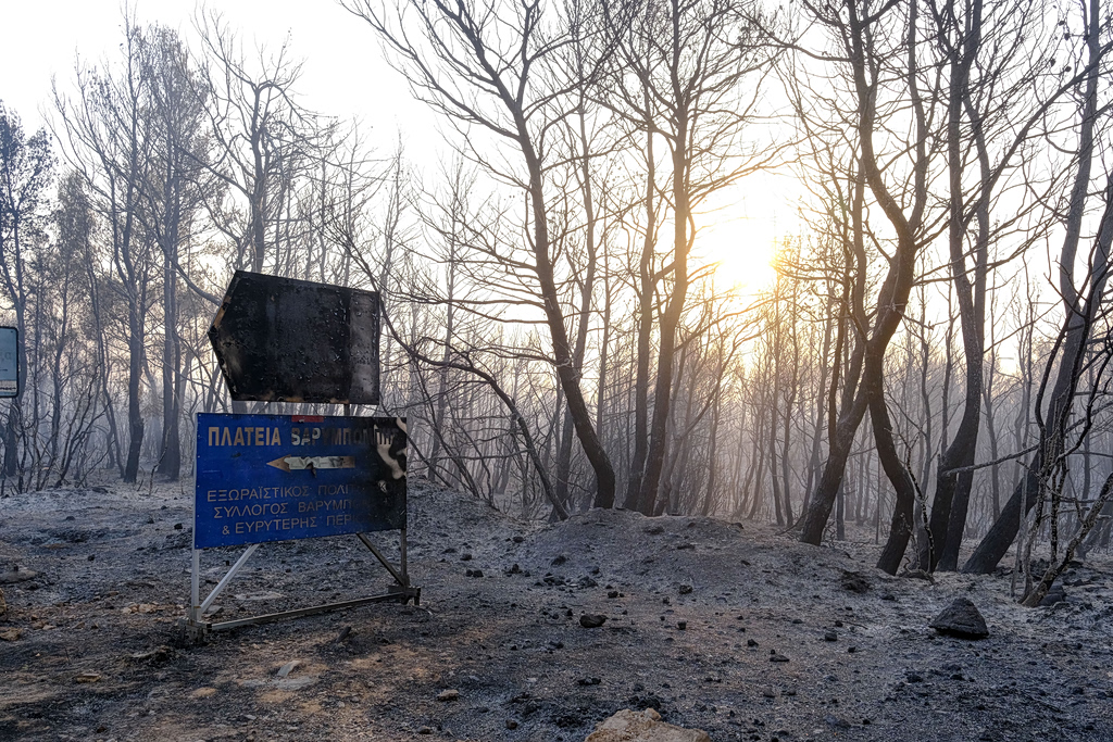
An updated analysis of forest fires in the continental part of the Attica Region, Greece, reveals alarming statistics over the past nine years, from 2017 to 2025. This update was prompted by a recent wildfire in Oinoi, Attica, on July 5, 2026. During the period from 2017 to 2025, a total of 13 major fires have devastated more than 700,000 stremmata (approximately 70,000 hectares) of land. These figures are based on reports from the Copernicus Emergency Mapping Response Service and the European Observatory. The data indicates a significant and concerning trend of forest destruction within the region. The scale of the burned areas highlights the increasing vulnerability of Attica's natural landscape to wildfires. This extensive loss underscores the urgent need for enhanced fire prevention and management strategies.
The data reveals a significant environmental challenge in Attica, with nearly two-fifths of its forests impacted by fires in less than a decade. This trend suggests that current land management and climate adaptation strategies may be insufficient to mitigate the escalating risk of wildfires. Factors such as increased aridity, potential changes in land use, and the effectiveness of fire suppression and prevention protocols warrant further investigation. Understanding the interplay between these elements is crucial for developing resilient ecological systems and safeguarding the region's natural resources against future environmental pressures, particularly in the context of a changing climate.
AI-generated to prompt reflection — not editorial opinion, not advice, not a statement of fact. How this works.