Bagmati River Exceeds Warning Level, Flood Risk Prompts Alert in Vulnerable Areas
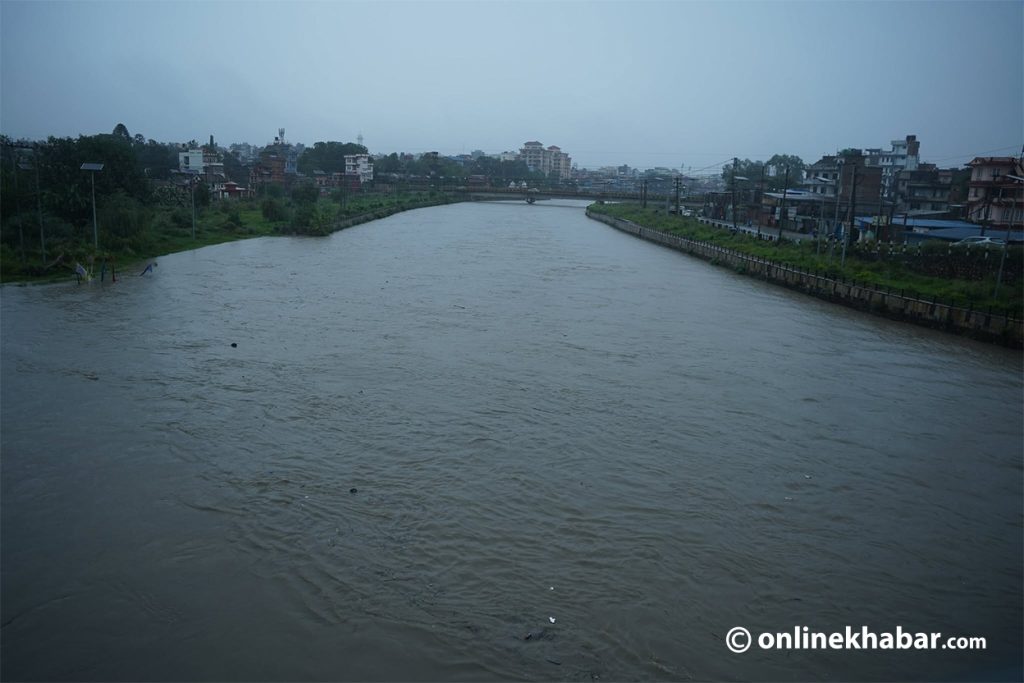
The Bagmati River has surpassed its warning level, prompting authorities to issue alerts for areas prone to flooding. According to the Department of Hydrology and Meteorology, the water level at Gauri Ghat reached 2.41 meters. This level is 0.31 meters above the established warning threshold of 2.1 meters. Residents in low-lying and flood-prone regions are advised to exercise caution and take necessary precautions. The elevated water level indicates a significant risk of inundation in surrounding communities. Further monitoring of the river's flow and water levels will continue. The department is closely observing the situation to provide timely updates and guidance. This alert underscores the ongoing vulnerability of these areas to riverine flooding, especially during periods of heavy rainfall or increased snowmelt.
The rising water levels of the Bagmati River above the warning threshold highlight the persistent challenge of flood management in vulnerable regions. This event underscores the critical need for robust early warning systems and effective infrastructure to mitigate the impact of natural hydrological events. As climate patterns evolve, the frequency and intensity of such events may increase, necessitating adaptive strategies in urban planning and disaster preparedness. The focus should be on long-term resilience, integrating environmental considerations with development to reduce the systemic risks associated with riverine flooding and protect affected communities.
AI-generated to prompt reflection — not editorial opinion, not advice, not a statement of fact. How this works.