Barcelona launches app to find cooler walking routes
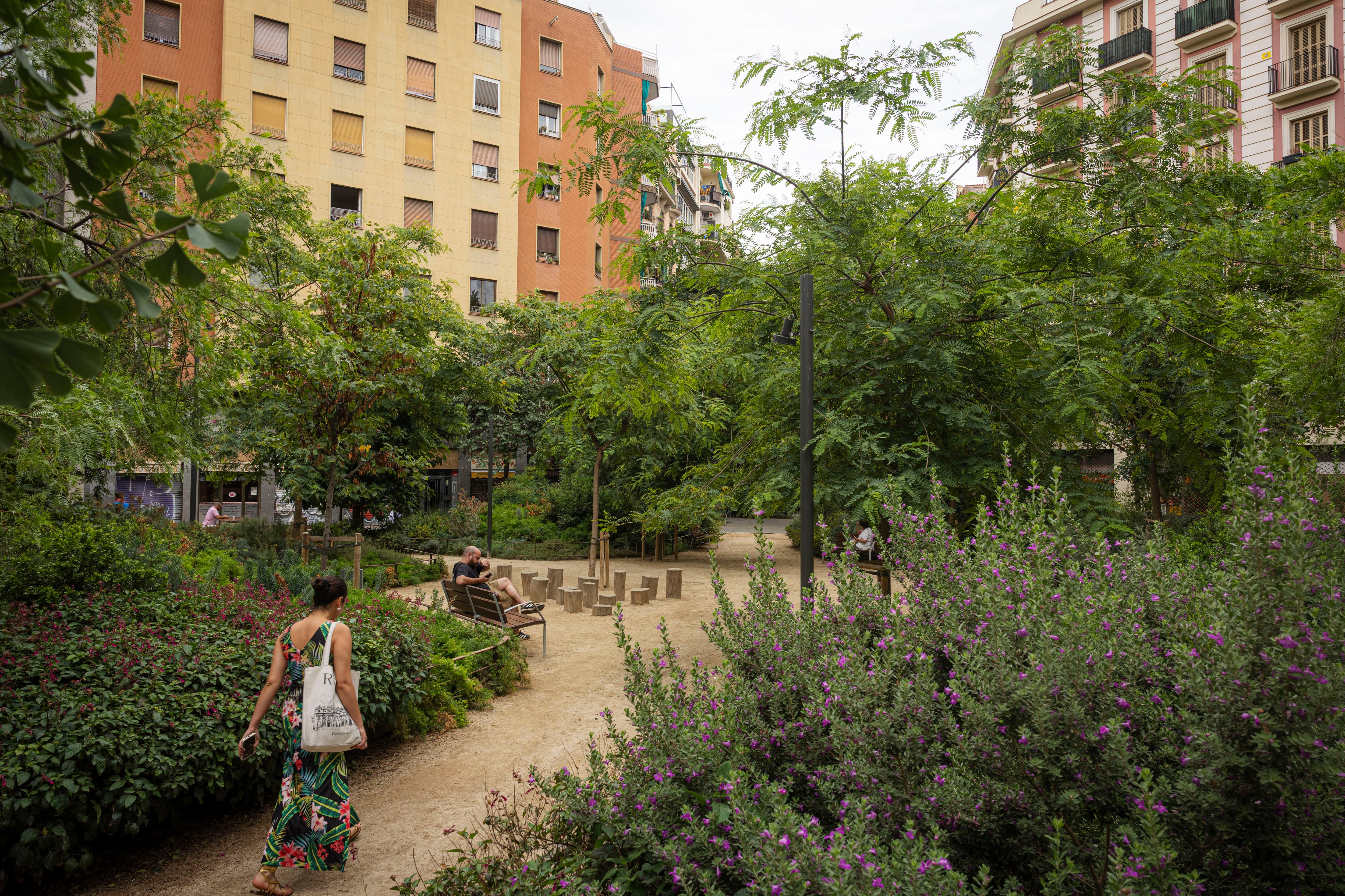
Barcelona Regional, an agency within the Metropolitan Area of Barcelona, has developed a new tool to help residents and visitors navigate the city while avoiding extreme heat. The innovative application identifies walking routes that are less affected by high temperatures, offering a more comfortable urban experience during hot weather. This initiative aims to mitigate the impact of heatwaves on public health and daily life in the city. The tool analyzes street configurations, considering factors like shade and building density, to map out the coolest paths. By providing this information, Barcelona is taking a proactive approach to climate adaptation in urban environments. The agency hopes this will encourage more people to walk and use public spaces, even during the hottest parts of the year. This development comes as many cities worldwide grapple with rising temperatures due to climate change. The focus is on creating more resilient and livable urban settings.
This initiative by Barcelona Regional addresses the growing challenge of urban heat islands, exacerbated by climate change. By leveraging data to guide pedestrian movement towards cooler microclimates, the tool offers a practical, low-cost adaptation strategy. It highlights a systemic shift towards using urban planning and technology to enhance public well-being and resilience. The effectiveness of such tools will depend on their integration into broader city-wide climate strategies and public awareness campaigns. Future developments could incorporate real-time temperature data and personalized route suggestions based on individual heat tolerance, further optimizing urban mobility in an era of increasing heat.
AI-generated to prompt reflection — not editorial opinion, not advice, not a statement of fact. How this works.