Brazil Geological Service Identifies Six High-Risk Zones in Passos, MG
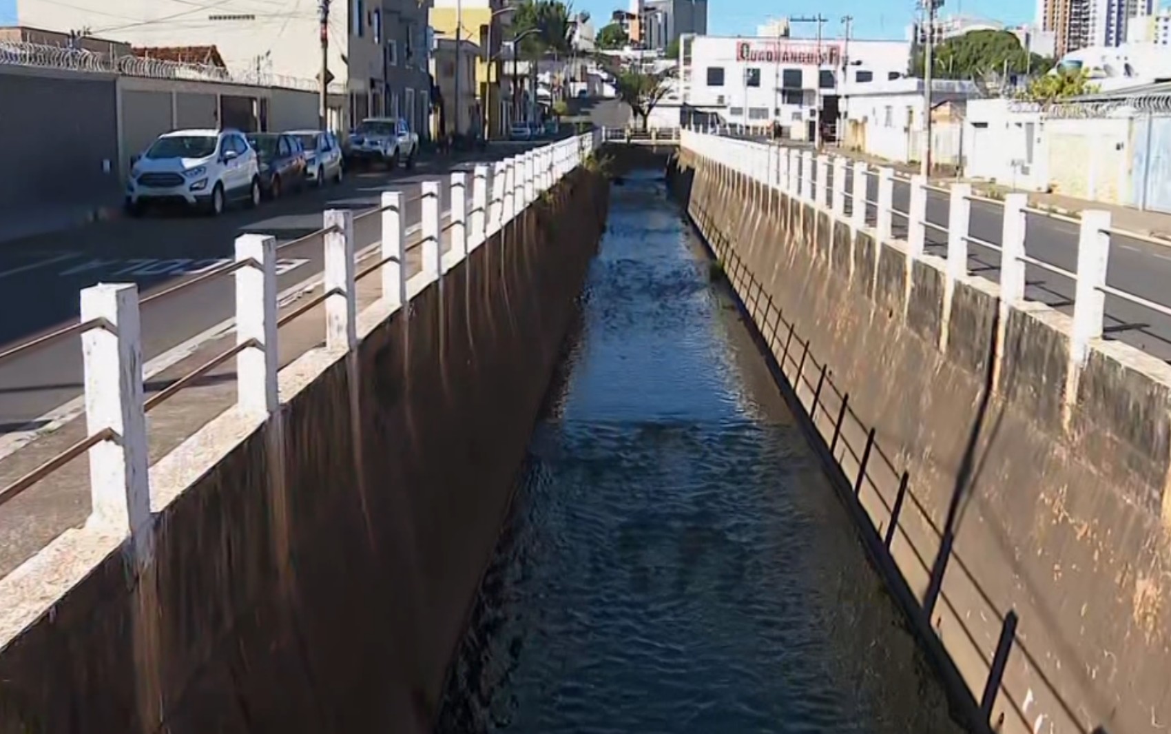
A study by the Geological Service of Brazil has identified six areas in Passos, Minas Gerais, that are at high risk of flooding and landslides. The research indicates that 166 residences are situated in these hazardous locations, directly impacting over 660 individuals. The primary objective of this study is to provide data that supports public policies aimed at disaster prevention.
One identified risk zone is on Avenida da Moda, where local businesses frequently experience disruptions during heavy rainfall. A manager of a driving school there, Cléber Rodrigues Machado, stated that flooding has affected his establishment despite structural modifications, with water damaging parked vehicles and strong currents overturning motorcycles. A veterinarian operating a clinic on the same avenue for 15 years, identified as Patrícia, also expressed frustration with ongoing inundations. She noted that past mitigation efforts have not fully resolved the issue, as water still covers the rear street, a necessary route for many customers.
Other identified risk areas include a section of Rua Cuiabá in the Jardim Colégio neighborhood, Rua Paraguai in Canjeranos where a house was evacuated by Civil Defense due to landslide risk, and streets Pará and Goiás in the Bela Vista neighborhood. The study, conducted between May 11 and 15, involved reviewing existing municipal data and conducting field visits with Civil Defense officials. Geologist Júlio César Lana emphasized the study's role in informing national disaster prevention policies, while environmental engineer Thatyane Daniel Barbosa stressed the need for public intervention, such as soil studies and slope containment, alongside improved drainage and maintenance of water flow systems. Passos Civil Defense confirmed awareness of these areas and is currently constructing a containment basin for flooding, with frequent monitoring of landslide-prone locations, especially during the rainy season, and enforcement against new constructions in these zones.
The Geological Service of Brazil's study provides critical data for Passos, MG, highlighting areas vulnerable to flooding and landslides. This scientific assessment aims to inform public policy, a necessary step given that 166 homes and over 660 residents are exposed. The report underscores a systemic challenge: urban development often proceeds without adequate consideration of natural hazard mapping, leading to increased vulnerability. While the study offers a foundation for preventative measures, its effectiveness hinges on robust public investment in infrastructure like drainage systems and slope stabilization, as well as strict enforcement against construction in high-risk zones. The long-term sustainability of Passos will depend on integrating such geological insights into urban planning, balancing development needs with environmental resilience to mitigate future risks and protect its citizens.
AI-generated to prompt reflection — not editorial opinion, not advice, not a statement of fact. How this works.