Cameroon's ONACC Strengthens Climate Integration in Yoko's Territorial Planning
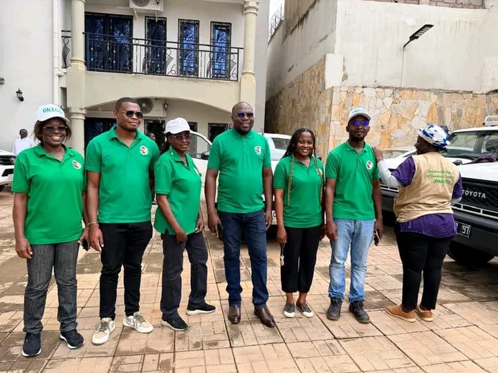
From July 15-20, 2026, Cameroon's National Observatory on Climate Change (ONACC) conducted a technical mission in the commune of Yoko. The objective was to enhance the scientific foundation of the Local Plan for Land Use and Sustainable Territorial Development (PLADDT) by integrating climate and spatial dimensions. This initiative is part of the Grand Mbam Integrated Landscape Management Project (PGIP-Grand Mbam). ONACC's expertise in geomatics and Measurement, Reporting, and Verification (MRV) was deployed to update land-use maps, analyze territorial evolution dynamics, and develop future scenarios. The mission identified and characterized High Conservation Value Forests and carbon-rich forest areas crucial for biodiversity and climate change mitigation. Furthermore, geospatial indicators compatible with the MRV system were developed for the PLADDT to improve landscape transformation monitoring and environmental impact assessment. Upon completion, Yoko will possess a consolidated geospatial database, updated land-use maps, territorial evolution projections, and decision-support tools for sustainable natural resource management. ONACC reaffirms its role in providing scientific support to local authorities, offering reliable data and analytical tools for planning that incorporates conservation, sustainable development, and climate change adaptation imperatives.
This mission by ONACC in Yoko highlights a critical trend in sub-Saharan Africa: the proactive integration of climate change considerations into local development planning. By leveraging geospatial data and MRV frameworks, the initiative aims to build resilience and ensure that land-use decisions align with long-term environmental sustainability goals. The focus on High Conservation Value Forests and carbon stocks demonstrates an understanding of the dual benefits of conservation efforts – biodiversity protection and climate mitigation. The challenge ahead lies in the effective implementation and continuous monitoring of these integrated plans, ensuring that local governance structures are equipped to manage the data and tools provided. Future success will depend on sustained capacity building and financial support to translate these scientific assessments into tangible, adaptive land management practices that can withstand the intensifying impacts of climate change over the next decade.
AI-generated to prompt reflection — not editorial opinion, not advice, not a statement of fact. How this works.