Chapada dos Guimarães, MT, Celebrates 275 Years: From Vast Territory to Tourist Hub
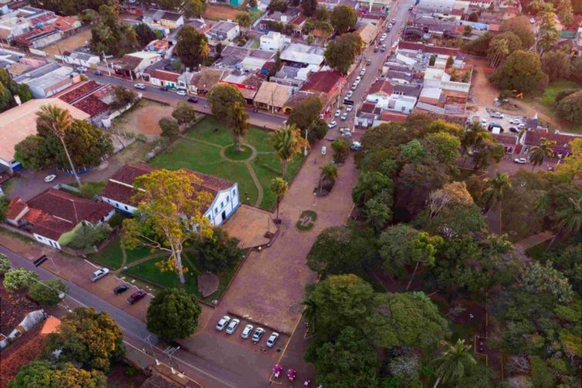
Chapada dos Guimarães, located 65 km from Cuiabá in the Brazilian state of Mato Grosso, is celebrating its 275th anniversary on Friday, May 31st. Originally a vast territory once considered the largest in Brazil, the municipality has a rich history intertwined with the gold rush, indigenous settlements, colonial farms, and subsequent territorial divisions. Its origins trace back to the early 18th century with the advance of exploration bands, notably Pascoal Moreira Cabral's discovery of gold in the Coxipó River in 1718, leading to the establishment of the first farm, Buriti Monjolinho, in 1722. The town's formation is closely linked to Cuiabá's development and rural activities during the colonial era, involving Black populations and later the Jesuits in the 1750s, who influenced religious and social organization. The decline of gold mining led to periods of isolation, preserving rural characteristics and colonial heritage. In recent decades, improved road access and the establishment of the Chapada dos Guimarães National Park in 1989 have transformed it into a significant tourist destination, leveraging its natural beauty of waterfalls, cliffs, viewpoints, and trails. The municipality has had several names, including Sant'Ana de Chapada and Chapada de Cuiabá, before adopting its current name, linked to Portuguese heritage. Architecturally, the Igreja de Santana do Santíssimo Sacramento, dating back to the 18th century, remains a significant colonial landmark. Geologically, the region's dramatic landscape, featuring escarpments and red sandstone formations, was shaped over millions of years by geological transformations, including periods as a seabed and desert, with its current relief forming around 15 million years ago. This ancient landscape holds archaeological sites with rock art and marine fossils, reflecting both geological evolution and early human presence. The area boasts diverse flora and fauna, with over 400 bird species, including the scarlet macaw, the municipality's symbol.
The 275th anniversary of Chapada dos Guimarães highlights a municipality's evolution from a vast, resource-driven territory to a tourism-focused economic model. This transition reflects broader trends in regional development, where historical resource extraction cycles often give way to nature-based economies as infrastructure improves and natural heritage is recognized. The narrative of territorial expansion and subsequent fragmentation is a common pattern in the formation of Brazilian municipalities, driven by administrative needs and the establishment of new economic centers. The municipality's story underscores the interplay between natural geography, historical settlement patterns, and evolving economic strategies. Looking ahead, Chapada dos Guimarães's continued success will likely depend on sustainable tourism management, balancing economic growth with the preservation of its unique geological and ecological assets, and adapting to potential climate change impacts on its natural attractions.
AI-generated to prompt reflection — not editorial opinion, not advice, not a statement of fact. How this works.