Cold Air Mass to Lower Temperatures Across Southern and Southeastern Brazil Next Week
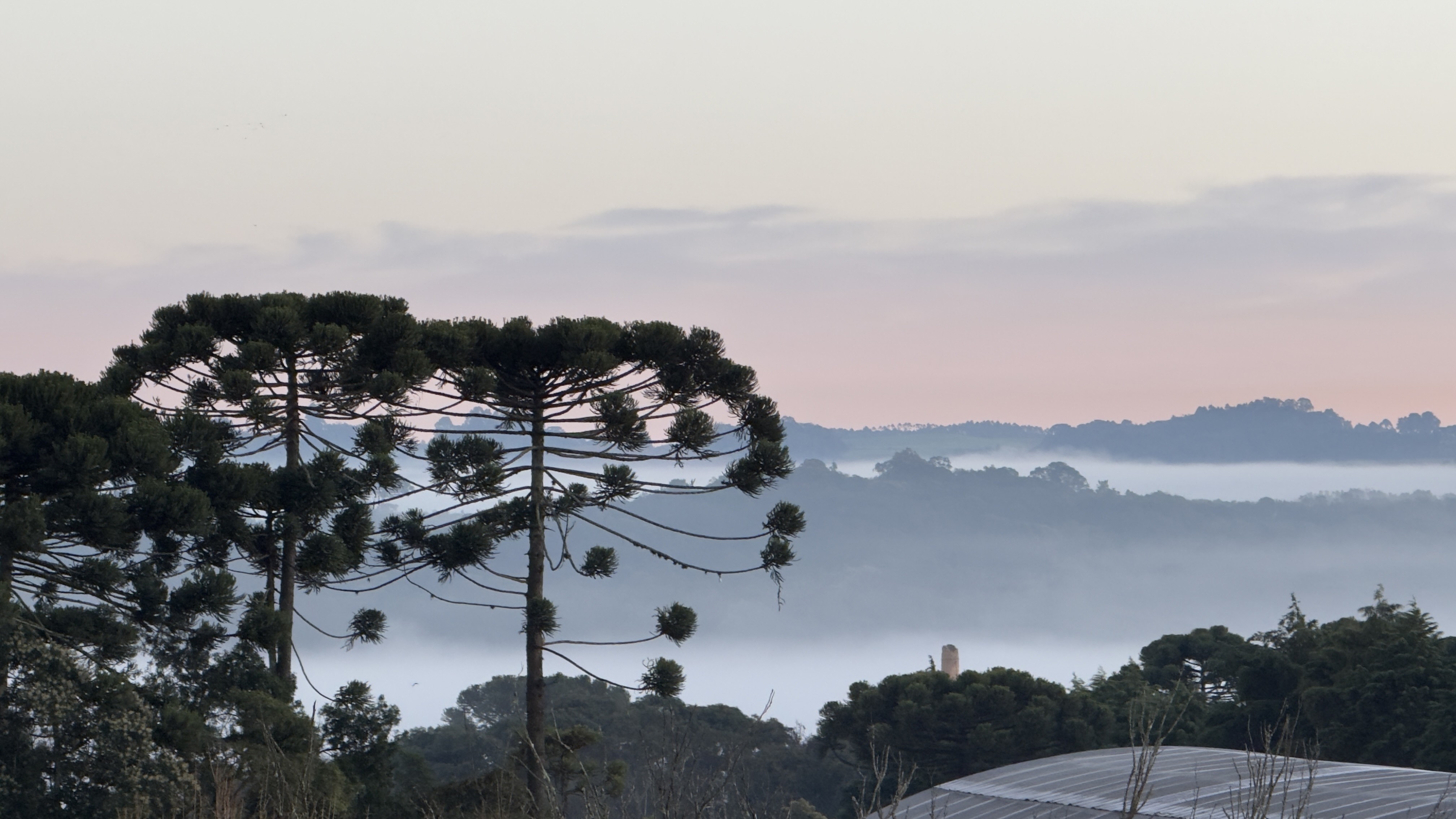
A new cold air mass is expected to move into Southern Brazil starting this weekend, bringing a significant drop in temperatures to parts of the Southeast region by early next week. The cold will first affect Rio Grande do Sul, Santa Catarina, and Paraná, subsequently reaching southern and eastern São Paulo, including the state capital. Prior to the cold front's arrival, Saturday, November 11th, will see heavy rain and potential thunderstorms across the three southern states, driven by a combination of a cold front and a low-pressure system near the coast. These storms may include thunder, strong wind gusts, and isolated hail, particularly in northern Rio Grande do Sul, Santa Catarina, and Paraná. By Sunday, November 12th, rainfall intensity is predicted to decrease in some areas, though light or isolated showers may persist. Simultaneously, the cold air mass will begin its advance, causing temperatures to plummet, especially in Rio Grande do Sul. The coldest period is anticipated between Monday, November 13th, and Tuesday, November 14th. While this cold spell is not expected to be as severe as previous ones in June and early July, it will be sufficient to bring low minimum temperatures to many southern cities, with readings potentially near or below 0°C in higher elevations. The cold is forecast to be short-lived, with warmer weather returning by mid-week. The National Institute of Meteorology forecasts minimum temperatures around 4°C across much of the Southern Region on Monday and anticipates frost in areas of the three states, particularly in mountainous and high-altitude regions. In the Southeast, Saturday will still feature sunshine and warmer temperatures for most of the region, but the approaching cold front could trigger rain in south-central and eastern São Paulo late in the day. By Sunday, the cold front will significantly alter the weather in São Paulo city, with rain expected from early morning and throughout the day, accompanied by wind gusts of 50-70 km/h, and a drop in maximum temperatures to around 21°C. The cold air will arrive more forcefully on Monday, keeping maximum temperatures below 20°C in the capital through Tuesday, with the coldest pre-dawn hours potentially occurring on Wednesday, November 15th, with temperatures possibly dropping below 10°C.
This forecast highlights the dynamic interplay of atmospheric systems influencing weather patterns across Brazil. The progression of cold air masses from the south, driven by frontal systems and low-pressure areas, demonstrates the cyclical nature of temperature fluctuations. While this particular event is not projected to be extreme, it underscores the vulnerability of southern and southeastern regions to significant temperature drops. The differing impacts across states and even within regions of São Paulo illustrate the localized effects of large-scale weather phenomena. Understanding these patterns is crucial for sectors such as agriculture and energy, which are sensitive to abrupt climatic shifts. Future climate projections may indicate changes in the frequency and intensity of such events, necessitating adaptive strategies for infrastructure and resource management.
AI-generated to prompt reflection — not editorial opinion, not advice, not a statement of fact. How this works.