Cold Front Brings Rain and Cooler Temperatures to Parts of Mato Grosso do Sul
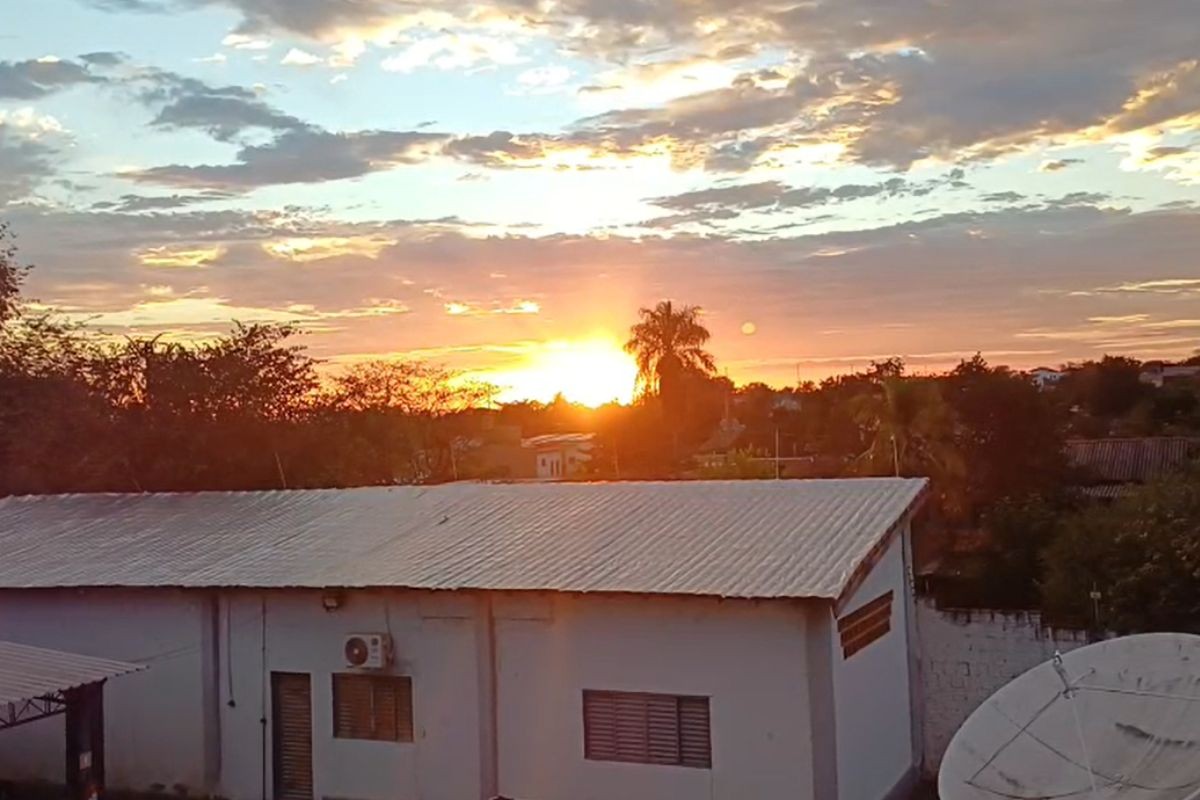
A cold front arrived in Mato Grosso do Sul on Wednesday, March 22nd, ending a period of dry weather and bringing rain to various parts of the state. Cities like Dourados and Ponta Porã experienced rainfall overnight, with accumulated amounts of 5.8 mm and 2.2 mm respectively. Temperatures dropped in these locations, starting the day at 16°C in Dourados and 18°C in Ponta Porã. Similar conditions were observed in western municipalities such as Caracol, Jardim, and Nioaque. In contrast, northern and eastern regions of the state are expected to remain hot, with maximum temperatures reaching up to 33°C in Água Clara, Inocência, Alcinópolis, and Pedro Gomes, and up to 32°C in Aparecida do Taboado, Três Lagoas, and Ribas do Rio Pardo. These drier areas face a heightened risk of wildfires due to relative humidity levels between 20% and 30%. The southwestern, southern, and western parts of the state are forecast to receive moderate to heavy rain with thunderstorms. In Campo Grande, the largest rainfall accumulation for the week is predicted, with approximately 8 mm, prompting a yellow alert from the Municipal Civil Defense based on Inmet data, valid until Thursday, March 23rd, 11 PM. Heavier rainfall and higher volumes than initially forecast are possible. The rain in Campo Grande is expected to begin late Wednesday afternoon around 7 PM and continue into Thursday morning. On Thursday, temperatures will drop more significantly in Campo Grande to a minimum of 18°C and a maximum of 24°C, with similar cooling expected in central, western, and northwestern regions. The southern region is anticipated to receive the highest rainfall volumes, with Mundo Novo, Japorã, Itaquiraí, and Eldorado expecting significant amounts, alongside approximately 20 mm in Novo Horizonte do Sul, Paranhos, Naviraí, and Iguatemi. Western areas like Porto Murtinho and Caracol are also projected to receive around 20 mm, with Bonito expecting similar volumes and Miranda about 13 mm. Dourados and Ponta Porã will also see rain, though Corumbá is expected to have low accumulation. The eastern region of Mato Grosso do Sul is forecast to remain dry.
This weather event highlights the dynamic meteorological patterns affecting Mato Grosso do Sul, with a significant contrast between the southern/western regions experiencing rainfall and the northern/eastern areas remaining dry and hot. The differing conditions, particularly the low humidity in the dry zones, create distinct environmental risks, such as increased wildfire potential, which necessitates targeted public safety measures. The forecast's emphasis on potential heavy rainfall and thunderstorms in certain areas, coupled with official alerts, underscores the importance of preparedness for localized flooding or storm damage. Examining this event through a longer-term lens, the interplay between regional climate patterns and the state's agricultural and ecological systems will be crucial, especially in the context of evolving climate change impacts on precipitation variability and extreme weather events.
AI-generated to prompt reflection — not editorial opinion, not advice, not a statement of fact. How this works.