Cold Front Brings Rain to São Paulo and Mato Grosso do Sul, Storms Return to Rio Grande do Sul
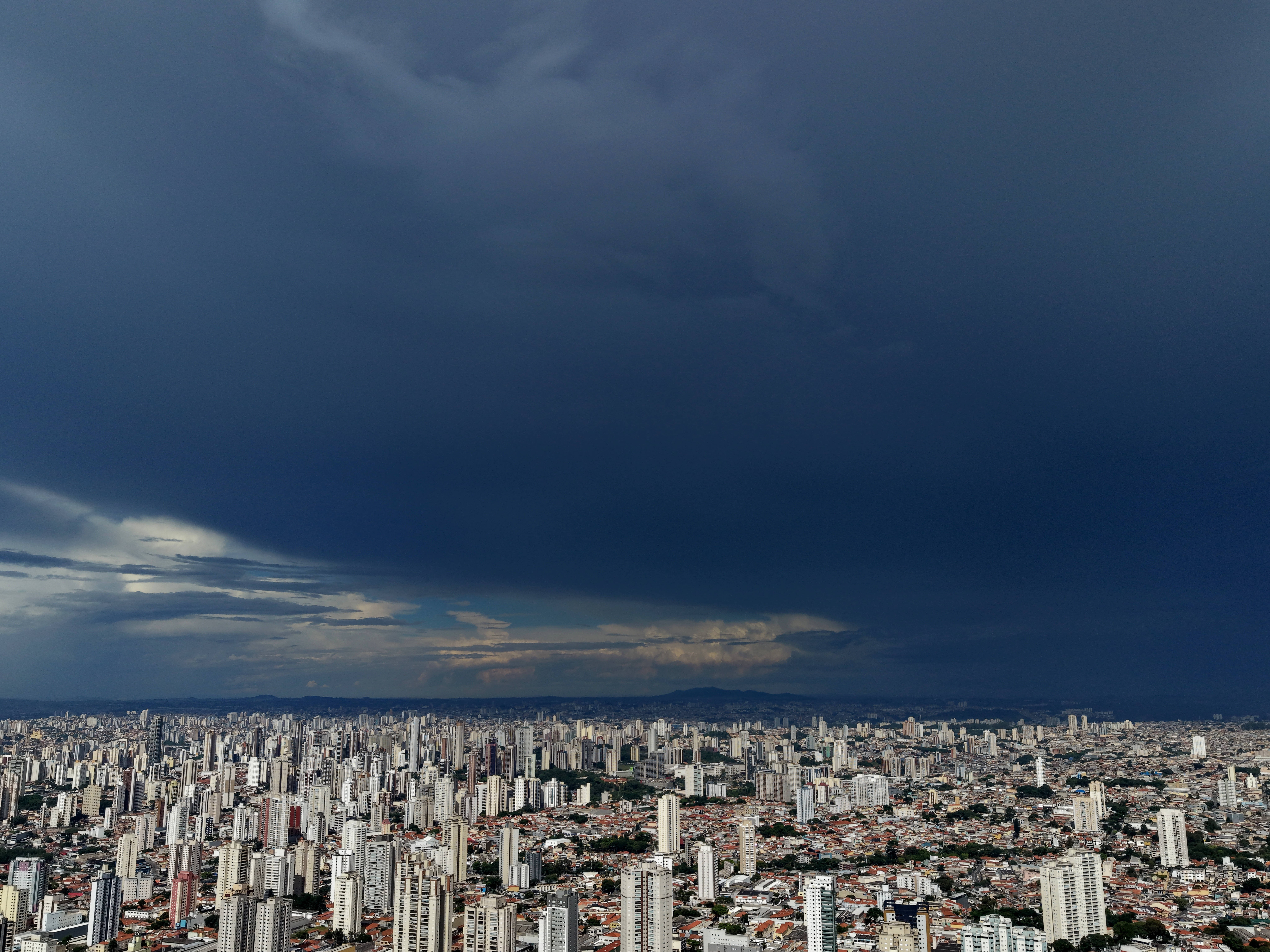
A cold front is set to advance across Central-South Brazil on Thursday, January 23, 2025, bringing rain to São Paulo and Mato Grosso do Sul. Instability will also affect southern Minas Gerais and parts of Rio de Janeiro, with temperatures expected to drop in these areas. The system is predicted to influence weather patterns across the South, Southeast, and Center-West regions for several days. In São Paulo, significant changes are anticipated between Thursday and Friday, with rain initially impacting western and southern areas before moving towards the metropolitan region. Isolated heavy showers and thunderstorms are possible, particularly inland. São Paulo city will experience increased cloudiness and rain on Thursday, with cooler temperatures, and a more overcast, rainy Friday with highs near 20°C. Mato Grosso do Sul will also see intensified rainfall, especially in the central-south, southeast, and eastern parts, with potential for strong gusts and thunderstorms, prompting the National Institute of Meteorology to issue warnings for southern municipalities. Campo Grande's high is expected to be around 24°C. In Rio de Janeiro, changes will be more gradual, with some dry periods and highs near 28°C on Thursday, followed by increasing cloudiness and light rain at night, with Friday's high potentially dropping to 25°C. Southern Minas Gerais and the Triângulo Mineiro will receive most of the rain, while Belo Horizonte expects sunny conditions with highs near 28°C. However, much of central Brazil, including Goiás, the Federal District, and parts of Mato Grosso and Minas Gerais, will remain under dry air influence, with low humidity levels and increased fire risk. In the South, rain will decrease in Rio Grande do Sul on Thursday but persist in Paraná and Santa Catarina, with Curitiba experiencing cold, cloudy conditions and Porto Alegre seeing lower temperatures and gradual clearing. New instability is forecast for Rio Grande do Sul starting Friday, with intense rain expected from Sunday, January 26, to Wednesday, January 29, potentially accumulating up to 250 millimeters in some areas. The Northeast will see continued rain along the coast, with higher volumes possible in Alagoas, Pernambuco, Paraíba, and Rio Grande do Norte, while inland areas remain mostly dry. The North region will experience irregular rainfall, with the heaviest amounts in western Amazonas and parts of Roraima, Amapá, and Pará's coast, while other areas will be hot with isolated showers. Tocantins, particularly Palmas, is expected to reach 37°C.
This forecast highlights the dynamic interplay of weather systems across Brazil, illustrating how a single cold front can create diverse conditions from heavy rainfall and thunderstorms in the South and Southeast to persistent dry air and elevated fire risks in the Center-West. The return of significant rainfall to Rio Grande do Sul, with potentially high accumulations, raises concerns for areas already impacted by recent weather events, underscoring the increasing vulnerability of regions to extreme weather due to climate shifts. The contrast between the wet coastal Northeast and the arid interior, alongside the intense heat in Tocantins, demonstrates the complex and often localized impacts of atmospheric patterns. Understanding these regional variations is crucial for effective disaster preparedness and resource management in the face of a changing climate, where predictable patterns are becoming less reliable.
AI-generated to prompt reflection — not editorial opinion, not advice, not a statement of fact. How this works.