Cold Front Linked to Cyclone to Bring Heavy Rain South, Snow Chance, and Temperature Drop to Southeast
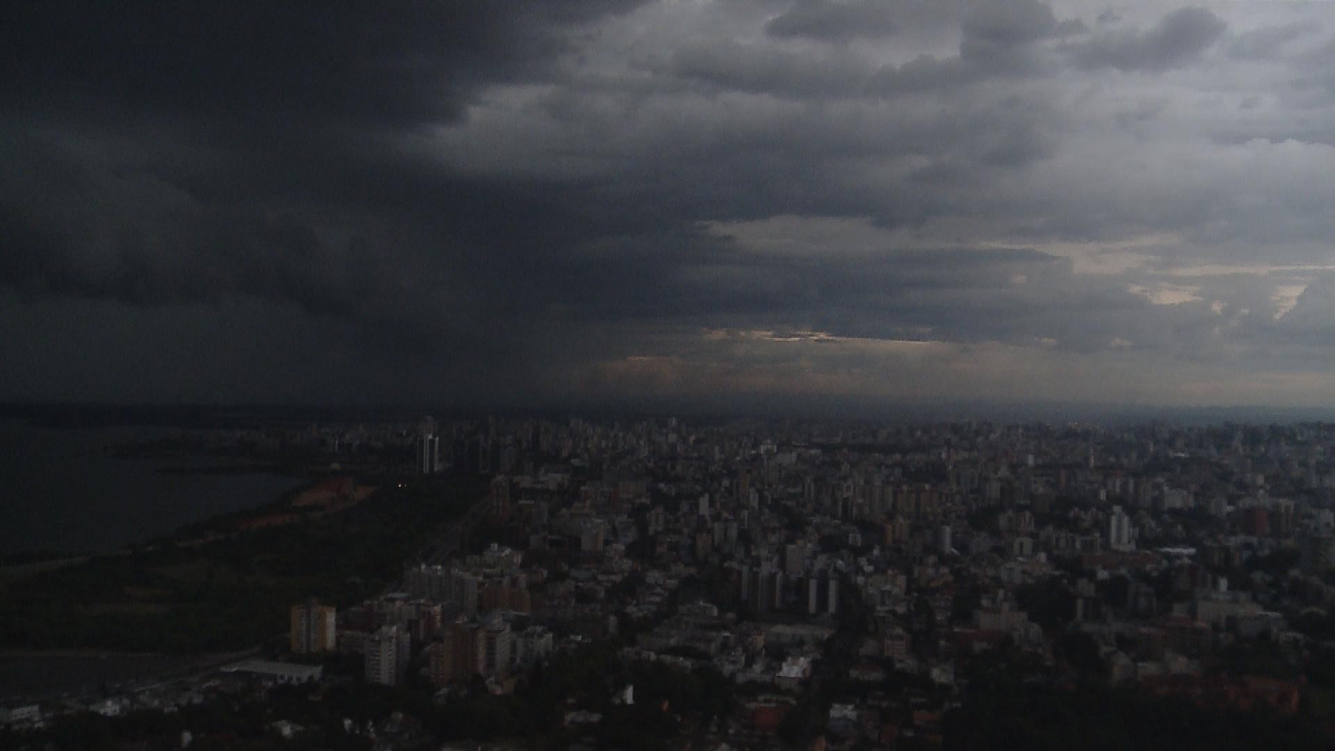
A cold front associated with an extratropical cyclone forming offshore is expected to bring heavy rain to Brazil's Southern Region on Thursday, May 2nd, and trigger a significant weather shift in the Southeast starting Friday, May 3rd. This system, organizing near the border of Rio Grande do Sul and Santa Catarina, will allow a mass of polar air to advance, causing temperatures to plummet across São Paulo and Rio de Janeiro. Before the sharp temperature decline, the South will experience severe thunderstorms, with predictions of heavy rainfall, lightning, hail, and wind gusts exceeding 80 km/h, particularly in central-northern Rio Grande do Sul, Santa Catarina, and southern/southwestern Paraná. Some municipalities could see over 60 millimeters of rain per hour or exceed 100 millimeters in a full day. Coastal areas of Rio Grande do Sul and Santa Catarina will face strong winds up to 60 km/h and rough seas. By Friday, while storms may weaken in much of the South, isolated showers could persist along the coastlines of Santa Catarina and Paraná. Following the cold front's departure, the polar air mass will cause temperatures to drop below 0°C in parts of Rio Grande do Sul and the Santa Catarina highlands, with frost expected. A slight possibility of snow exists in the highest elevations of the Gaúcha and Catarinense mountain ranges, though its occurrence is uncertain, depending on precise temperature and humidity conditions. The cold is forecast to linger into Saturday, May 4th, especially during early mornings and nights, with the lowest temperatures anticipated in plateaus and interior towns of Rio Grande do Sul and Santa Catarina. Meanwhile, Thursday will still feature clear skies and warm afternoons across most of the Southeast, with highs potentially reaching 32°C in western São Paulo and parts of Rio de Janeiro. However, by Friday, the cold front and polar air will bring cloud cover and light, isolated rain to eastern São Paulo and Rio de Janeiro, with maximum temperatures dropping to around 14-16°C in central-eastern São Paulo and near 23°C in Rio de Janeiro. Temperatures will also begin to fall in Minas Gerais, Espírito Santo, and western São Paulo, though these areas may retain drier conditions. The polar air is expected to reach parts of Mato Grosso and Mato Grosso do Sul by Friday, with minimum temperatures potentially ranging from 7°C to 9°C in colder spots, though afternoons could still reach 34-36°C in northern Mato Grosso. Low humidity, between 20-30%, will remain a concern across the Center-West, increasing wildfire risks. The Northeast will see dry conditions inland, with weak, isolated showers possible along the coast from Rio Grande do Norte to Bahia due to oceanic humidity. Maximum temperatures will hover around 34-36°C inland, while minimums could drop to 11-13°C in south-central Bahia. The North Region will continue experiencing scattered showers, mainly in Amazonas, Roraima, Amapá, and northern Pará, with more intense rain concentrated in northern Amazonas on Friday. Tocantins, Rondônia, and southern Pará will remain dry, with highs around 35-37°C and humidity near 20%.
This meteorological event highlights the dynamic interplay between oceanic cyclogenesis and continental air mass movements, significantly impacting diverse Brazilian regions. The extratropical cyclone's role in organizing the cold front and facilitating the polar air's advance underscores the complex atmospheric processes that can lead to rapid weather shifts. While the potential for snow in high-altitude areas is a notable phenomenon, the primary concern for affected populations lies in the severe weather risks, including heavy rainfall, high winds, and potential flash floods, particularly in the Southern Region. The analysis of temperature drops and humidity levels across various regions provides critical data for public safety advisories, agricultural planning, and energy demand management. Furthermore, the heightened risk of wildfires in the Center-West due to dry conditions and low humidity warrants proactive resource allocation for fire prevention and suppression efforts. Understanding these weather patterns is crucial for regional resilience against extreme events, emphasizing the need for robust early warning systems and adaptive infrastructure.
AI-generated to prompt reflection — not editorial opinion, not advice, not a statement of fact. How this works.