El Niño Influence: Rio Grande do Sul Braces for Severe Storms and High Winds Amidst Warm Winter
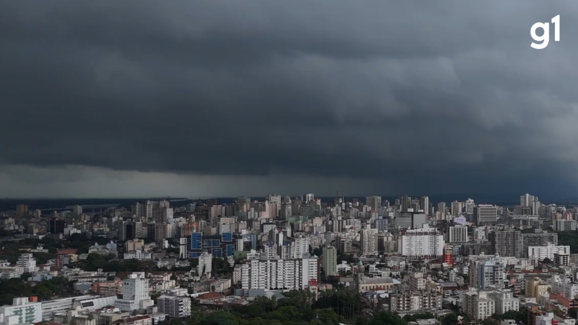
Rio Grande do Sul in Brazil is set to experience a dramatic weather shift starting Thursday, August 16th, with the arrival of severe thunderstorms, intense winds, hail, and a risk of tornadoes. This period of instability, influenced by the El Niño phenomenon, is expected to persist until Monday, August 20th. Meteorologists have classified the situation as extremely dangerous, with wind gusts potentially reaching 90 km/h. The National Institute of Meteorology (Inmet) has issued storm alerts for the state, forecasting winds up to 100 km/h and daily rainfall of up to 100 millimeters between Friday, August 17th, and Saturday, August 18th. Climatempo Meteorologia indicates the weather change will begin on Thursday afternoon and evening, initially affecting the western, Campanha, and Central regions. This instability is driven by a low-pressure system and significant moisture transport, leading to heavy rainfall. Prior to these storms, temperatures are rising rapidly, creating a feeling of heat. Until Wednesday, August 15th, the weather across the state remains stable with sunny days and gradually increasing afternoon temperatures, particularly in the western, Missões, Campanha, Central, and Vales regions. On Friday, a combination of heat, humidity, and strong wind shear will create an environment highly conducive to severe thunderstorms, with rain spreading to the Vales, Porto Alegre Metropolitan Region, and northern and eastern parts of the state. In the Santa Maria region, persistent north winds could reach 85 km/h. Inmet advises the public to avoid sheltering under trees and to disconnect electrical appliances due to the risk of lightning and falling branches. Emergency services, including Civil Defense (199) and the Fire Department (193), are available for assistance.
The forecast highlights the significant impact of El Niño on regional weather patterns, demonstrating its capacity to amplify extreme events like severe thunderstorms and high winds. This situation underscores the increasing importance of robust meteorological forecasting and public warning systems, especially as climate variability intensifies. The event serves as a reminder of the need for infrastructure resilience and preparedness strategies to mitigate potential damage from severe weather. Future planning should consider how such amplified weather phenomena, driven by global climate patterns, will affect urban and rural areas, necessitating adaptive measures in building codes, agricultural practices, and emergency response protocols to manage heightened risks in the coming decade.
AI-generated to prompt reflection — not editorial opinion, not advice, not a statement of fact. How this works.