El Niño to Bring Storms to Southern Brazil After Warm Spell
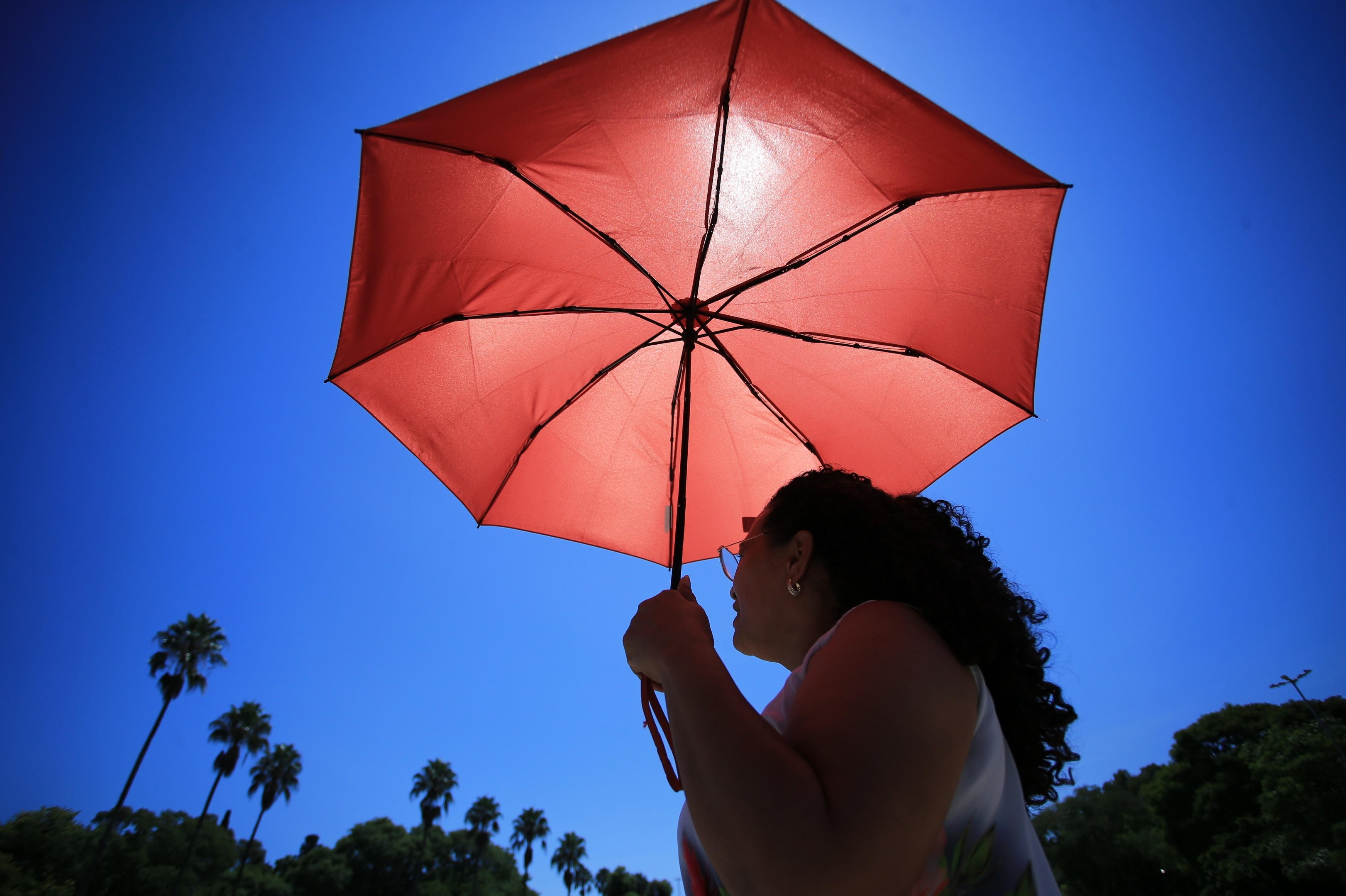
The El Niño phenomenon is expected to significantly influence Brazil's weather starting in the second half of July, bringing above-average temperatures and increased rainfall to the South Region. Meteorologists anticipate that by Thursday, July 16th, storms could primarily affect Rio Grande do Sul, following a brief period of warmer weather. This shift is attributed not only to El Niño but also to high humidity, low-pressure systems, and the South American Low-Level Jet (JBNAS), which transports moisture from the Amazon and fuels atmospheric rivers. A blocking pattern over the Center-West and Southeast regions will further concentrate these instabilities in the South. Before the storms, a change in wind circulation will bring warmer continental air, leading to a 'veranico' – a warm and dry spell during a typically cold season – with temperatures potentially 3°C to 4°C above average for two to three days. While El Niño favors warmer temperatures, not all heatwaves are directly caused by it, according to meteorologist César Soares. In Paraná and Santa Catarina, atmospheric blocking will likely maintain sunny conditions, with warmer afternoons, especially in western areas, though mornings will remain cool, particularly in higher elevations. Rio Grande do Sul, however, faces a higher risk of severe storms starting Thursday afternoon, with potential for heavy rain, hail, and wind gusts exceeding 90 km/h. Isolated microbursts and tornadoes are also possible. From Friday, July 17th, the storm risk expands across Rio Grande do Sul, including the Porto Alegre metropolitan area, and into western Santa Catarina. By Sunday, the primary concern will be severe thunderstorms and strong winds, followed by heavy rainfall accumulations of 200 to 400 millimeters between July 16th and 25th, increasing the risk of floods, flash floods, landslides, and river overflows.
The forecast highlights the complex interplay of global climate patterns like El Niño with regional atmospheric dynamics, such as blocking patterns and low-level jets, in shaping localized weather events. The concentration of severe weather in Rio Grande do Sul, contrasted with drier conditions in Paraná and Santa Catarina, demonstrates how subtle shifts in atmospheric pressure and moisture transport can lead to vastly different outcomes within the same broader region. The projected heavy rainfall and associated risks underscore the vulnerability of infrastructure and communities to extreme weather events, a challenge amplified by climate change. Understanding these interconnected systems is crucial for developing adaptive strategies and resilient infrastructure, particularly in regions prone to hydrological extremes. The analysis suggests a need for robust early warning systems and proactive land-use planning to mitigate potential damages from floods and landslides.
AI-generated to prompt reflection — not editorial opinion, not advice, not a statement of fact. How this works.