EU Restricts Satellite Images of Iran War Zone at US Request
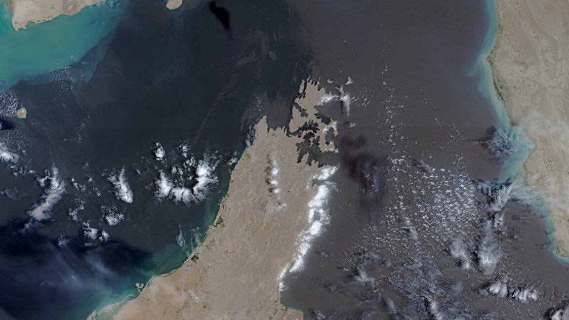
The European Union has agreed to the United States' request to restrict access to satellite images covering regions of conflict involving Iran. This decision introduces a new delay in the release of Copernicus satellite imagery. The move comes at a time when tensions and military activities between the US and Iran appear to be escalating. The specific details of the restriction and the exact nature of the "war region" have not been fully elaborated upon. However, the EU's compliance with the US request highlights the geopolitical considerations influencing the dissemination of sensitive observational data. The Copernicus program, a joint initiative of the European Union and the European Space Agency, aims to provide Earth observation data for environmental and security purposes. The restriction raises questions about the balance between national security interests and the public's right to information, particularly concerning international conflicts. Further implications for scientific research and international transparency are anticipated.
The EU's decision to restrict satellite imagery of Iran at the US's behest introduces a layer of geopolitical influence over the dissemination of Earth observation data. This action underscores the tension between the stated goals of open data access for scientific and public benefit, and the security imperatives of powerful states. The restriction, particularly during a period of heightened regional conflict, may serve to limit independent verification of events on the ground, potentially shaping public and international perception. Future considerations may involve developing more resilient data-sharing protocols that can better safeguard against such politically motivated limitations, ensuring that critical observational data remains accessible for monitoring global affairs and scientific inquiry.
AI-generated to prompt reflection — not editorial opinion, not advice, not a statement of fact. How this works.