Flamap: New Open-Source Tool Maps Wildfires in Near Real-Time
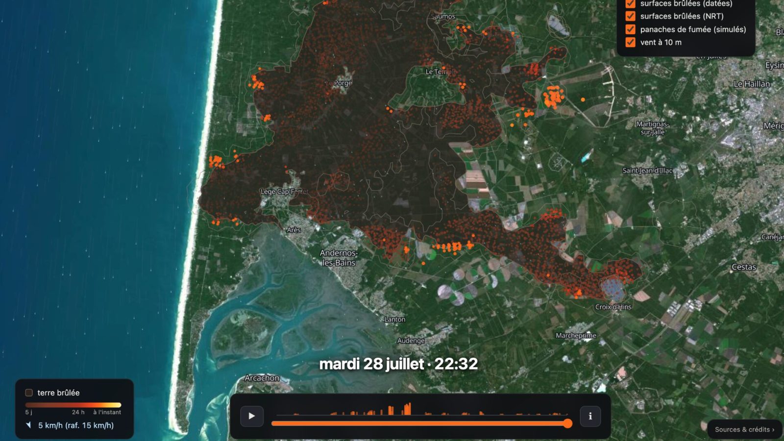
Guillaume Rozier, the creator of CovidTracker and ViteMaDose, has launched Flamap, a new open-source tool designed to monitor wildfires. Flamap utilizes data from NASA and Copernicus satellites to display the progression of fires in near real-time. The tool's open-source nature means its code is publicly available, allowing anyone to use it as a foundation for developing their own applications. This initiative aims to provide accessible and up-to-date information on fire events, leveraging existing satellite infrastructure for environmental monitoring.
Flamap represents an innovative application of publicly available satellite data for real-time environmental monitoring. By making the tool open-source, its creator fosters collaborative development and wider adoption, potentially enhancing global wildfire response capabilities. The reliance on NASA and Copernicus data highlights the value of international scientific cooperation in addressing critical issues like climate change and disaster management. This approach democratizes access to vital information, empowering various stakeholders, from researchers to emergency services, to make more informed decisions. The system's scalability and adaptability, inherent in its open-source design, position it as a potentially crucial tool in the face of increasing wildfire frequency and intensity.
AI-generated to prompt reflection — not editorial opinion, not advice, not a statement of fact. How this works.