Forest Fire in Var: Map Shows 2550 Hectares Burned
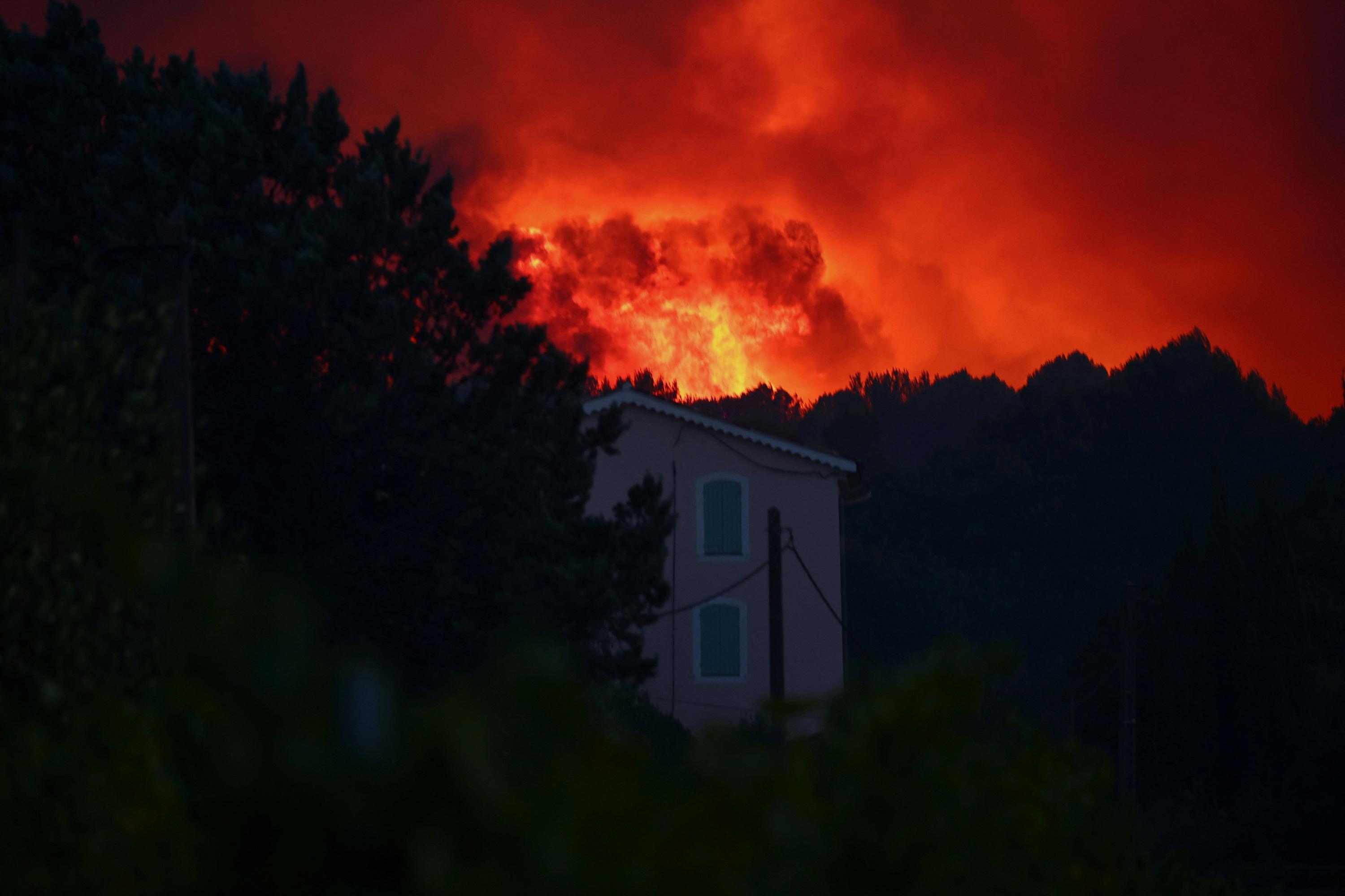
A forest fire that began on Tuesday afternoon in Pontevès, Var, has already consumed 2550 hectares. The blaze originated in a field and its progression is being tracked. A live map is available to visualize the affected areas and monitor the evolving situation. This interactive map allows the public to see the extent of the damage and the spread of the fire in real-time. The Var region is particularly susceptible to such incidents, especially during dry and hot weather conditions. Authorities are working to contain the fire, with significant resources deployed to the area. The full impact on the local environment and communities is still being assessed.
This event highlights the increasing vulnerability of Mediterranean regions to wildfires, exacerbated by climate change and land management practices. The availability of real-time mapping technology is crucial for emergency response coordination and public awareness, demonstrating the growing role of data visualization in crisis management. Future efforts may focus on predictive modeling and proactive land management to mitigate the impact of such events, considering the long-term ecological and economic consequences.
AI-generated to prompt reflection — not editorial opinion, not advice, not a statement of fact. How this works.