France Battles Wildfires: Visualizing Devastated Areas Across the Country
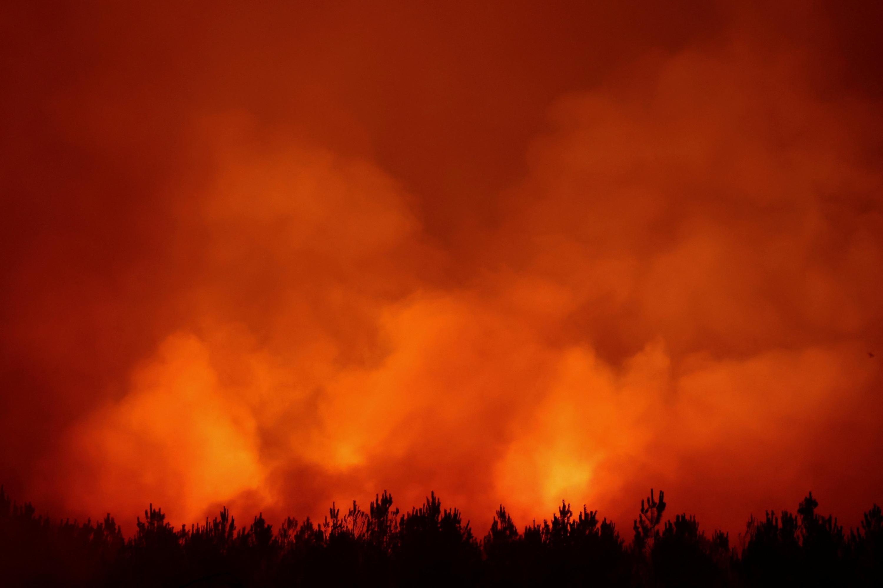
As of 2026, wildfires have ravaged approximately 115,000 hectares across mainland France. The affected regions include Gironde, Landes, Var, and Corsica, among others. A live map allows visualization of the impacted zones and the evolving situation of these devastating fires. This interactive tool aims to provide a clear overview of the extent of the damage and the geographical spread of the incidents. The data presented highlights the significant environmental and potentially economic impact of these recurring natural disasters. Residents and authorities can monitor the progression and containment efforts through this visual representation. The map serves as a critical resource for understanding the scale of the wildfire crisis in France.
The recurring nature of extensive wildfires across French regions like Gironde, Landes, Var, and Corsica, impacting over 115,000 hectares in 2026, points to systemic challenges in land management and climate adaptation. These events underscore the increasing vulnerability of ecosystems to climate change, necessitating a re-evaluation of preventative strategies, resource allocation for firefighting, and long-term land use policies. The visualization of affected areas highlights the spatial distribution of risk and the interconnectedness of environmental pressures. Future planning must consider the escalating frequency and intensity of such events, potentially driven by hotter, drier conditions, and explore resilient infrastructure and community preparedness measures.
AI-generated to prompt reflection — not editorial opinion, not advice, not a statement of fact. How this works.