France's annual burned area record broken by mid-2026, satellite data shows
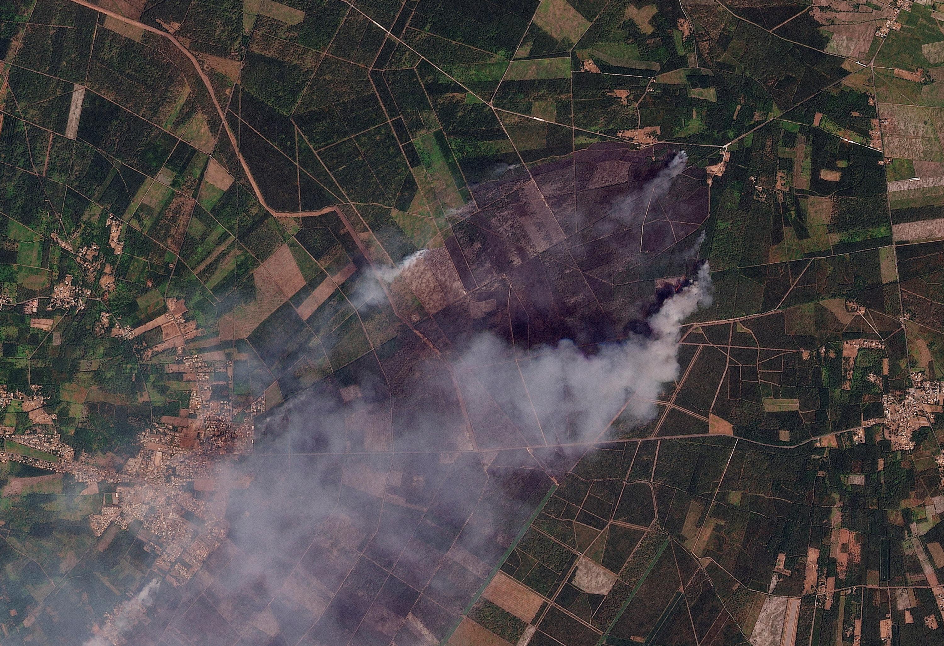
France has already surpassed its annual record for burned land area by mid-2026, according to data from the European Forest Fire Information System (EFFIS). As of the current reporting period, approximately 69,473 hectares have been consumed by fires across the country. This figure represents a significant increase compared to previous years, highlighting an escalating challenge with wildfires. The EFFIS data, derived from satellite monitoring, provides a comprehensive overview of the extent of the damage. The record-breaking numbers underscore the growing vulnerability of French landscapes to intense fire seasons. This trend suggests a need for enhanced preventative measures and firefighting strategies to cope with the changing environmental conditions. The implications extend beyond ecological damage, potentially impacting agriculture, infrastructure, and public safety.
The early surpassing of France's annual burned area record in 2026, as indicated by satellite data, points to a concerning acceleration in wildfire intensity and frequency. This trend, likely exacerbated by climate change and land management practices, necessitates a strategic re-evaluation of national and European wildfire response frameworks. Future policy should consider the long-term implications of these escalating events on biodiversity, carbon sequestration, and regional economies, potentially exploring innovative technological solutions for early detection and suppression, alongside robust community resilience programs. The data serves as a critical indicator for adapting to a more volatile environmental future.
AI-generated to prompt reflection — not editorial opinion, not advice, not a statement of fact. How this works.