France Wildfires: Visualizing Burned Areas and Ongoing Situation
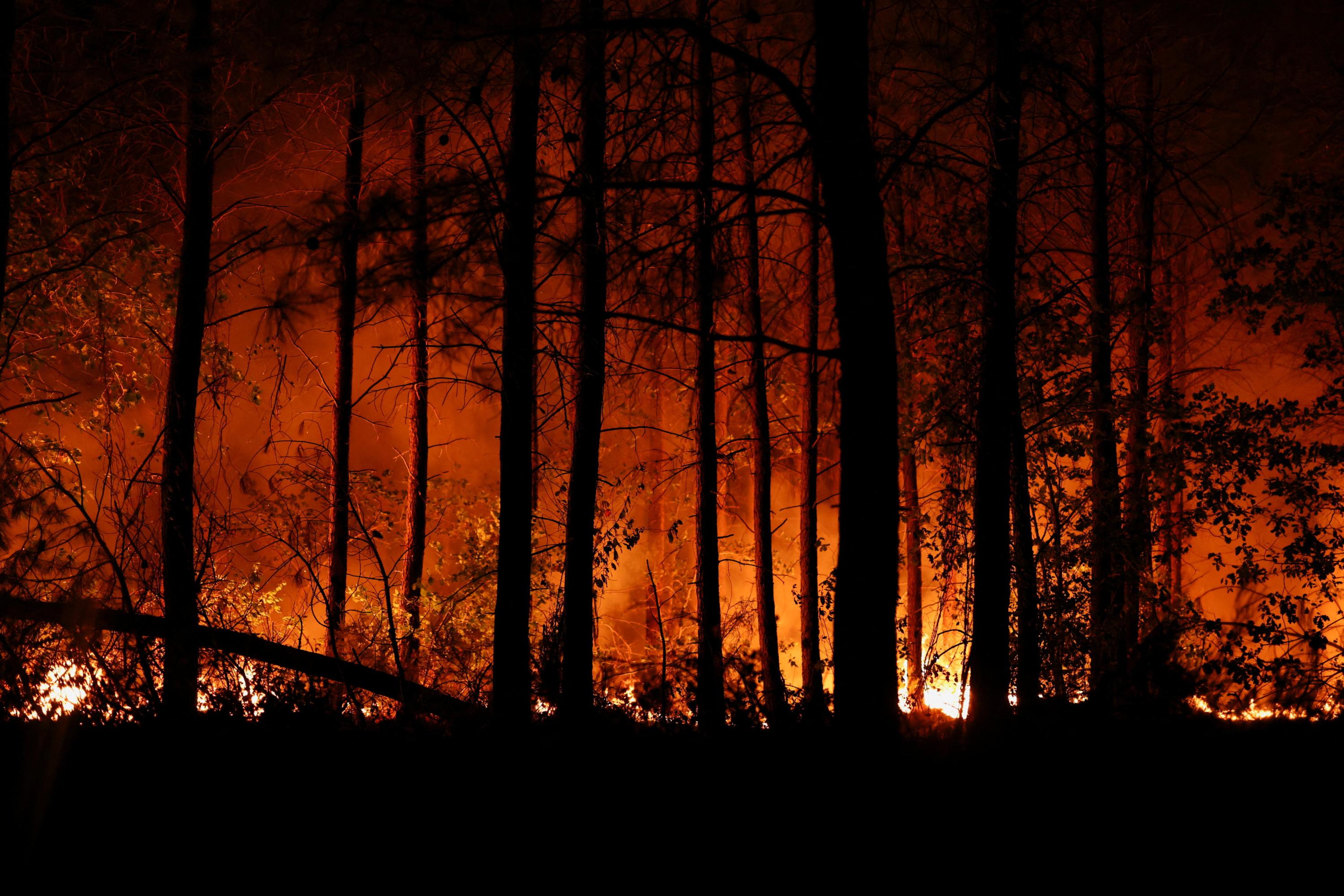
As of the start of the 2026 season, at least 44,000 hectares of forest have already been burned in France. Interactive maps are available to visualize the affected zones and track the evolution of the situation in real-time. These visualizations aim to provide a clear overview of the extent of the damage caused by wildfires across the country. The data presented allows for an understanding of the geographical distribution of these fires and their progression over time. This initiative offers a tool for monitoring the environmental impact and potentially informing response strategies.
The provided data highlights the significant environmental impact of wildfires in France, with a substantial area already lost in the 2026 season. Visualizing these events through maps offers a crucial tool for public awareness and potentially for resource allocation in fire management. The scale of the burned area suggests potential systemic issues related to climate change, land management practices, or fire prevention strategies. Future analysis could explore the correlation between these fires and meteorological patterns, as well as the long-term ecological and economic consequences for affected regions. Understanding these contributing factors is essential for developing more resilient strategies against future wildfire seasons.
AI-generated to prompt reflection — not editorial opinion, not advice, not a statement of fact. How this works.