Gaza Strip: Satellite Images Reveal 23-Kilometer Barrier
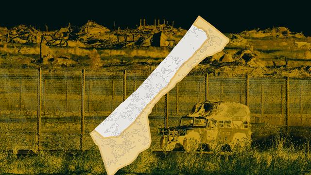
Satellite imagery has revealed the construction of a significant earthen barrier, measuring 23 kilometers in length, within the Gaza Strip. This development occurs amidst Israel's occupation of new territories in Gaza and Lebanon, coinciding with its ongoing advancement of West Bank annexation plans. The creation of this barrier suggests a strategic move to solidify control or delineate newly occupied areas. The extent of these territorial changes is being documented and visualized through mapping efforts. The situation highlights a complex geopolitical landscape with shifting borders and ongoing territorial disputes in the region.
The construction of a 23-kilometer earthen barrier in Gaza, as evidenced by satellite imagery, indicates a physical demarcation of territory. This aligns with broader geopolitical strategies concerning control and annexation in the region. The barrier's presence, alongside reported occupations of new areas in Gaza and Lebanon and continued West Bank annexation efforts, suggests a deliberate policy of territorial consolidation. Such physical infrastructure can have long-term implications for population movement, resource access, and future political negotiations, potentially entrenching existing divisions and complicating resolution pathways. The strategic intent behind this barrier, in the context of ongoing conflict and territorial claims, warrants careful observation regarding its impact on regional stability and humanitarian conditions over the next decade.
AI-generated to prompt reflection — not editorial opinion, not advice, not a statement of fact. How this works.