Gironde Wildfires: Map of Ongoing Forest Fires Near Arcachon Bay
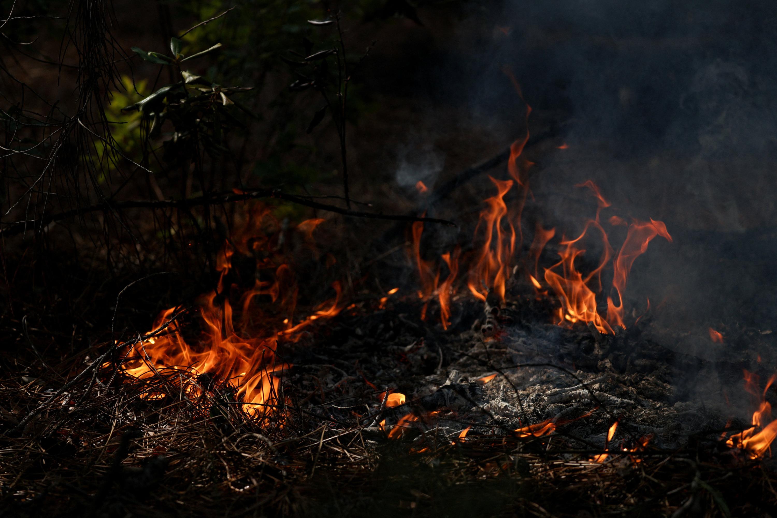
A significant wildfire has been raging in the Bordeaux region of France since July 22nd, devastating approximately 42,000 hectares of land. The affected areas are located near the Arcachon Bay. A live map is available to visualize the zones impacted by the flames and to track the evolution of the situation. This ongoing fire represents a major environmental and logistical challenge for the region.
The extensive scale of the Gironde wildfires, impacting 42,000 hectares, highlights critical vulnerabilities in land management and fire prevention strategies, particularly in areas with significant forest cover and proximity to populated zones like Arcachon Bay. The prolonged duration since July 22nd suggests challenges in containment, potentially linked to climatic conditions, resource allocation, or the sheer size of the affected area. Future planning will need to address the increasing risk of such large-scale events, considering climate change projections and the integration of advanced monitoring and rapid response technologies. Evaluating the effectiveness of current firefighting resources and inter-agency coordination will be crucial for mitigating future occurrences and their devastating environmental and economic consequences.
AI-generated to prompt reflection — not editorial opinion, not advice, not a statement of fact. How this works.