Gironde Wildfires Near Arcachon Basin: Interactive Map Shows Extent of Damage
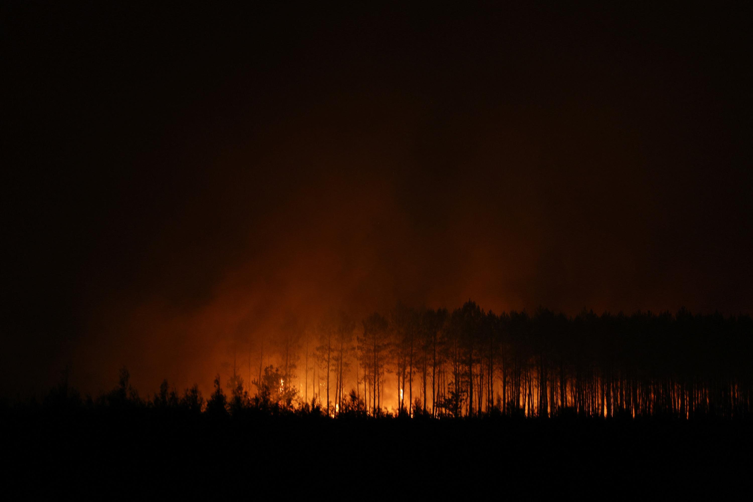
Wildfires have been raging in the Bordeaux region of France since Wednesday, impacting the area near the Arcachon Basin. The fires have already consumed an extensive 42,000 hectares of land. An interactive map is available to visualize the affected zones and track the evolving situation in real-time. This map aims to provide a clear overview of the scale of the disaster and its progression. Residents and authorities can use this tool to understand the geographical spread of the fires. The situation remains critical as efforts to contain the blaze continue. Further updates will be provided through the map as the situation develops. The impact on the local environment and communities is significant, underscoring the severity of the ongoing crisis.
The extensive land destruction highlights the critical need for robust wildfire management strategies, particularly in regions prone to such events. The availability of real-time mapping tools is crucial for effective response coordination and public awareness. Looking ahead, the increasing frequency and intensity of wildfires globally, exacerbated by climate change, necessitate long-term planning. This includes investing in advanced fire detection technologies, sustainable land management practices, and community resilience programs. The economic and ecological consequences of such large-scale fires demand a proactive, systemic approach to mitigation and adaptation, considering the evolving environmental landscape of the next decade.
AI-generated to prompt reflection — not editorial opinion, not advice, not a statement of fact. How this works.