Gironde Wildfires: Real-time Tracking Map Updated Every 10 Minutes
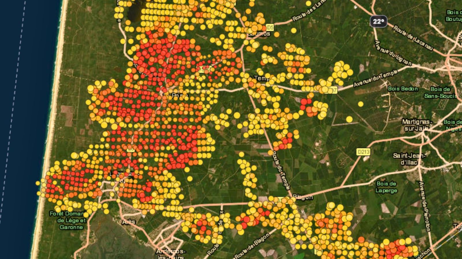
To help monitor the rapidly evolving wildfire situation in Gironde and Landes, the website RecordPy has launched an updated tracking map. This new tool provides near real-time information on the active fire fronts. The map is refreshed every 10 minutes, allowing users to follow the progression of the blazes. In addition to fire locations, the platform also displays crucial environmental data. This includes current temperature readings and humidity levels in the affected areas. The initiative aims to provide a more dynamic and informative resource for tracking the ongoing fires.
The deployment of a frequently updated digital map for tracking wildfires addresses the critical need for timely information during rapidly escalating environmental crises. Such tools enhance situational awareness for emergency responders and the public, potentially improving resource allocation and evacuation strategies. The inclusion of meteorological data like temperature and humidity provides valuable context for understanding fire behavior and spread dynamics. This technological approach reflects a growing reliance on data-driven solutions for disaster management, enabling more informed decision-making in the face of complex environmental challenges.
AI-generated to prompt reflection — not editorial opinion, not advice, not a statement of fact. How this works.