Google Maps Reveals 390-Million-Year-Old Meteorite Crater in Canada
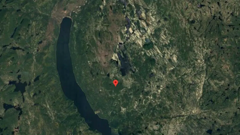
An everyday tool for travel planning can sometimes reveal deep secrets about our planet. This is precisely what happened recently while preparing for a seemingly simple camping trip. The discovery was made using Google Maps, which showed an unusual circular formation. Upon closer inspection and further research, this formation was identified as a meteorite crater. The crater is estimated to be 390 million years old and is located in Canada. This finding highlights how readily available technology can contribute to scientific discovery, even in unexpected ways. The initial observation during a recreational planning activity led to a significant geological revelation. Such discoveries underscore the potential for citizen science and the unexpected insights that can emerge from everyday digital tools.
The discovery of a 390-million-year-old meteorite crater in Canada, facilitated by Google Maps, illustrates the emergent capabilities of widely accessible digital mapping technologies for scientific exploration. This incident suggests that sophisticated geospatial data, often collected for commercial or navigational purposes, can serve as a valuable resource for geological and astronomical research. It prompts consideration of how such platforms might be further leveraged for systematic scientific data mining, potentially accelerating the identification of other geological features or historical sites. The ease of discovery also raises questions about data accessibility and the democratization of scientific research, allowing individuals without specialized training to contribute to significant findings. Future applications could involve enhanced algorithms designed to flag anomalies in satellite imagery, fostering a collaborative approach between technology companies and the scientific community.
AI-generated to prompt reflection — not editorial opinion, not advice, not a statement of fact. How this works.