Greece Issues High Fire Risk Alert for Thessaloniki and Kilkis on July 4th
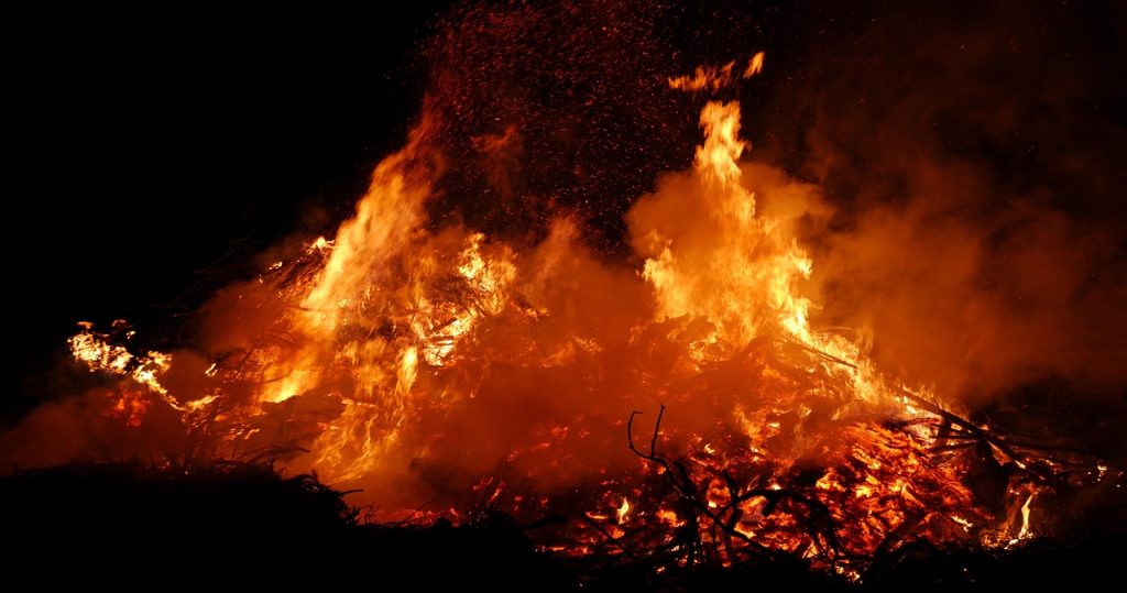
Greece's General Secretariat for Civil Protection has released its Fire Risk Prediction Map for Saturday, July 4, 2026. The map indicates a very high risk of fire, categorized as Level 4, for the regions of Thessaloniki and Kilkis. Additionally, a high risk, classified as Level 3, is anticipated in various parts of Thessaly, Central Greece, Attica, the Peloponnese, Evia, and Crete. This forecast highlights areas requiring heightened vigilance due to potentially dangerous fire conditions. Authorities are urging increased caution across these regions to prevent and manage potential wildfires. The issuance of this map is a standard procedure to inform the public and emergency services about prevailing weather-related risks. Citizens in the affected areas are advised to follow safety guidelines and report any suspicious activity. The prediction serves as a crucial tool for preparedness and response planning by civil protection agencies.
The issuance of fire risk maps by civil protection agencies is a critical mechanism for mitigating the impact of natural hazards. By forecasting high-risk zones, authorities enable proactive resource allocation and public awareness campaigns. This predictive approach, leveraging meteorological data, aims to reduce the likelihood of large-scale fires and their associated environmental and economic damage. Looking ahead, integrating advanced AI for granular, real-time risk assessment could further optimize response times and prevention strategies, potentially adapting to climate change-induced shifts in weather patterns. The effectiveness of such alerts hinges on public adherence to safety advisories and the coordinated efforts of emergency services.
AI-generated to prompt reflection — not editorial opinion, not advice, not a statement of fact. How this works.