Greece on High Alert for Fires: Risk Map Shows Extreme Danger on July 30th
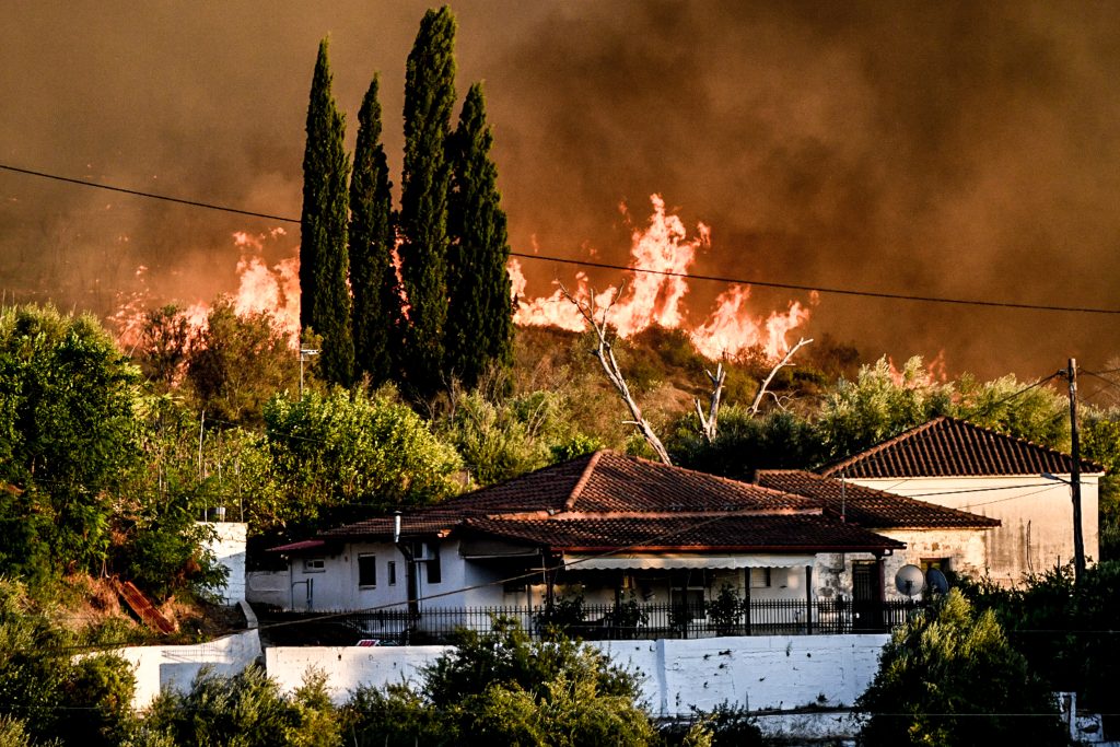
Greece is facing a very high risk of wildfires on July 30th, with the fire risk map indicating danger level 4 for several regions. The General Secretariat for Civil Protection, under the Ministry of Climate Crisis and Civil Protection, has issued a warning for Attica, Crete, the Cyclades islands, and numerous areas within the Peloponnese and Central Greece regions. This alert signifies the second-highest category of fire danger, urging heightened vigilance and preparedness across these vulnerable locations. Authorities are closely monitoring weather conditions, particularly high temperatures and strong winds, which exacerbate fire risks. Residents and visitors in the affected areas are advised to exercise extreme caution and avoid activities that could spark a fire. Emergency services are on standby to respond to any outbreaks. The forecast underscores the ongoing challenge of managing wildfire threats during the summer months in Greece.
The issuance of a high fire risk alert for multiple Greek regions highlights the recurring vulnerability of the Mediterranean landscape to extreme weather events, amplified by climate change. This situation necessitates robust, proactive fire management strategies that extend beyond immediate response. Future preparedness will likely involve integrating advanced climate modeling, optimizing resource allocation for prevention and suppression, and fostering community engagement in risk reduction. The recurring nature of these threats underscores the importance of long-term adaptation planning, considering the potential for increased frequency and intensity of wildfires in the coming decade due to global warming trends.
AI-generated to prompt reflection — not editorial opinion, not advice, not a statement of fact. How this works.