Heavy Rains Flood Low-Lying Areas in Five Districts, Disrupting Transport
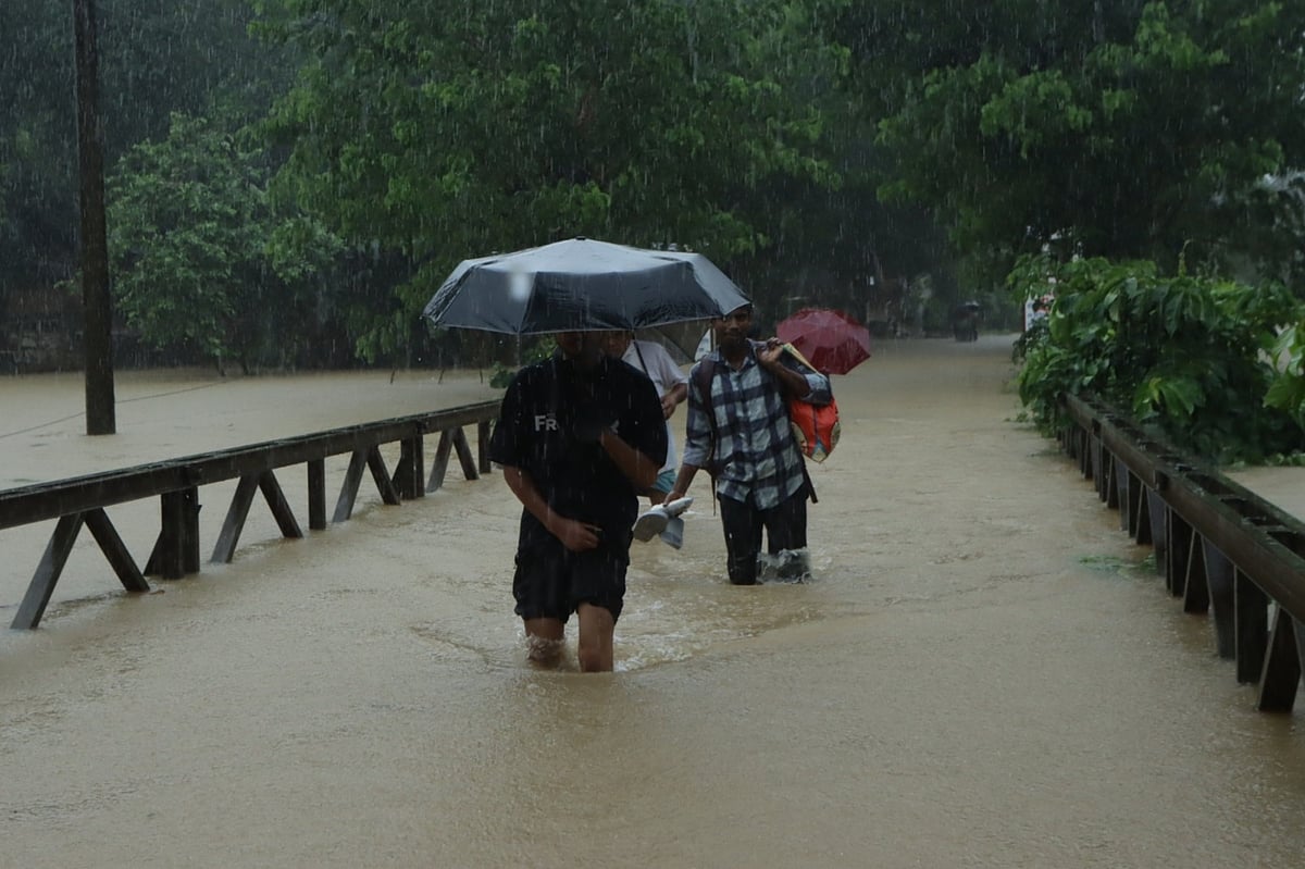
Continuous heavy rainfall over four days has caused widespread flooding in low-lying areas across five districts in the Chittagong region, including Chittagong, Bandarban, Rangamati, Khagrachhari, and Cox's Bazar. The deluge has inundated vast tracts of land, submerged numerous roads, and led to landslides and uprooted trees, severely disrupting road and rail communication. The Chittagong-Cox's Bazar railway line is underwater, halting train services on that route. Rivers and canals in the Chittagong region have swollen, with water levels rising significantly. While some areas have seen receding floodwaters, new regions are continuously being inundated, leaving many residents waterlogged for up to two days. Specific areas affected include Sitakunda, Banshkhali, Lohagara, Satkania, Raozan, Hathazari, Rangunia, and Fatikchhari in Chittagong; Baghaichhari in Rangamati; Khagrachhari town, Longadu Upazila; Bandarban district town, Lama Upazila; and Chokoria, Peka, and the newly formed Matamuhuri Upazila in Cox's Bazar. Many locations are experiencing power outages, and farm fish have been washed away, with crops submerged. Precise figures on the extent of damage are not yet available. In Cox's Bazar's Chokoria, Peka, and Matamuhuri Upazilas, approximately 15,000 families are stranded, with roads submerged and homes inundated. In Bandarban, rising waters in the Sangu and Matamuhuri rivers have caused flooding in low-lying areas, cutting off direct communication to Alikadam, Thanchi, and Roangchhari Upazilas. Some families have taken refuge in educational institutions.
The persistent heavy rainfall and subsequent flooding highlight the vulnerability of low-lying regions in Bangladesh to extreme weather events, exacerbated by factors such as riverine systems and coastal proximity. The disruption to critical infrastructure, including roads and railways, underscores the immediate economic and social impact, affecting livelihoods and access to essential services. The submergence of agricultural land and aquaculture facilities points to significant threats to food security and local economies. Future resilience planning will need to integrate robust disaster preparedness, improved infrastructure design capable of withstanding increased water levels and landslides, and potentially early warning systems that are effectively communicated and acted upon by vulnerable populations. The recurring nature of such events suggests a need for systemic approaches to climate adaptation and land-use management in flood-prone areas.
AI-generated to prompt reflection — not editorial opinion, not advice, not a statement of fact. How this works.