Hong Kong Cancels Typhoon Signal, Expects Strong Winds and Showers Through Next Week
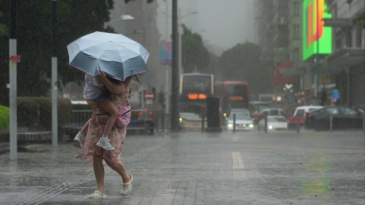
The Hong Kong Observatory has canceled the No. 1 typhoon signal previously issued on Thursday. However, the city is still bracing for strong winds, significant swells, and heavy showers. The forecaster replaced the standby typhoon signal with a strong monsoon signal at 3:21 AM on Saturday. This change comes as Tropical Cyclone Maysak continues to influence the region. Unsettled weather conditions are anticipated to persist until the middle of next week. Residents are advised to remain aware of the ongoing weather hazards, including potential disruptions due to the strong winds and heavy rainfall. The observatory's warnings indicate a need for continued caution as the weather pattern evolves.
The Hong Kong Observatory's decision to downgrade from a typhoon signal to a strong monsoon signal reflects a calibrated response to evolving meteorological conditions. This approach balances public safety with the avoidance of unnecessary alarm, allowing for preparedness while acknowledging reduced immediate threat. The continued forecast of strong winds and heavy showers underscores the complex interplay of weather systems and the challenges of precise forecasting over extended periods. This situation highlights the importance of adaptive public communication strategies in disaster management, ensuring that warnings remain relevant and actionable as conditions change, thereby optimizing resource allocation and public response.
AI-generated to prompt reflection — not editorial opinion, not advice, not a statement of fact. How this works.