Intense Rains Threaten Southern Brazil as Central-West Swelters Near 40°C
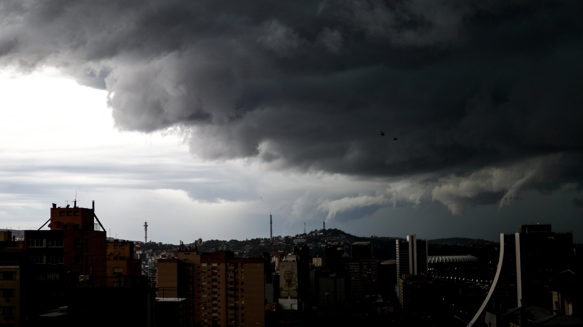
Southern Brazil, particularly Rio Grande do Sul, is bracing for a return of intense rainfall and thunderstorms starting Tuesday, May 28th. These weather events pose significant risks, including flooding, fallen trees, power outages, and river overflows, as the ground remains saturated and rivers are already high from previous rains. The storms are expected to affect most of the state, with potential for over 100 millimeters of rain in 24 hours in cities like Uruguaiana, Santa Maria, Bagé, Santa Cruz do Sul, and Porto Alegre. Accumulated rainfall between this week and Sunday, June 2nd, could exceed 200 millimeters in many areas, and over 250 millimeters in isolated locations. While the intensity may decrease slightly after Wednesday, May 29th, rainfall is predicted to increase again over the weekend. Neighboring Santa Catarina will also experience rain, primarily in its western and southern regions on Tuesday, spreading to other areas with thunderstorms and strong winds by Wednesday. Paraná anticipates significant weather changes from Wednesday, with rain advancing into its western, northwestern, and central parts, alongside potential thunderstorms near its borders with São Paulo and Mato Grosso do Sul. Meanwhile, the Central-West region is set for intense heat and low humidity, with temperatures in Mato Grosso potentially reaching 37°C to 39°C through Wednesday. Cuiabá is expected to approach its annual heat record, possibly hitting 38°C. Goiás and Mato Grosso do Sul will also experience high temperatures, though the south and west of Mato Grosso do Sul may see rain and thunderstorms from Wednesday onwards. The Southeast region will largely experience dry weather with plenty of sunshine, though isolated light rain is possible along the coast and in eastern Minas Gerais. São Paulo anticipates a cooler morning around 14°C and an afternoon high of 29°C, while Rio de Janeiro could reach 33°C to 34°C, and Belo Horizonte will see a high near 28°C. Low humidity levels, potentially dropping to 12-20% in some areas, are a concern in parts of São Paulo, Minas Gerais, and the Triângulo Mineiro. In the Northeast, rain is expected to be concentrated along the coast, with weak, intermittent showers forecast from Salvador to Rio Grande do Norte, and along the coasts of Maranhão, Piauí, and Ceará. The interior of the Northeast will remain dry and sunny, with humidity potentially falling below 20% in several western and central areas. Teresina, Piauí, could reach 35°C. The North region will see more frequent rain in Amazonas, Roraima, Amapá, and northern Pará, with a risk of moderate to heavy rain in parts of Amazonas and Roraima, and along the Pará coast. Tocantins and Rondônia, along with southern Pará, will remain dry, with Palmas, Tocantins, potentially reaching 37°C, raising concerns about wildfires due to low humidity.
The juxtaposition of severe rainfall risks in Southern Brazil with extreme heat in the Central-West highlights the nation's vulnerability to intensified weather patterns. These events underscore the critical need for robust climate adaptation strategies and infrastructure resilience, particularly in regions prone to flooding and heat stress. As climate change impacts become more pronounced, understanding and mitigating the systemic risks associated with extreme weather events will be paramount for public safety and economic stability. The varying regional impacts also suggest a need for tailored, localized responses rather than broad national policies. Future planning must integrate advanced meteorological forecasting with urban and agricultural planning to minimize damage and ensure resource availability.
AI-generated to prompt reflection — not editorial opinion, not advice, not a statement of fact. How this works.