Interactive Map Shows Ongoing Wildfires in Fontainebleau Forest
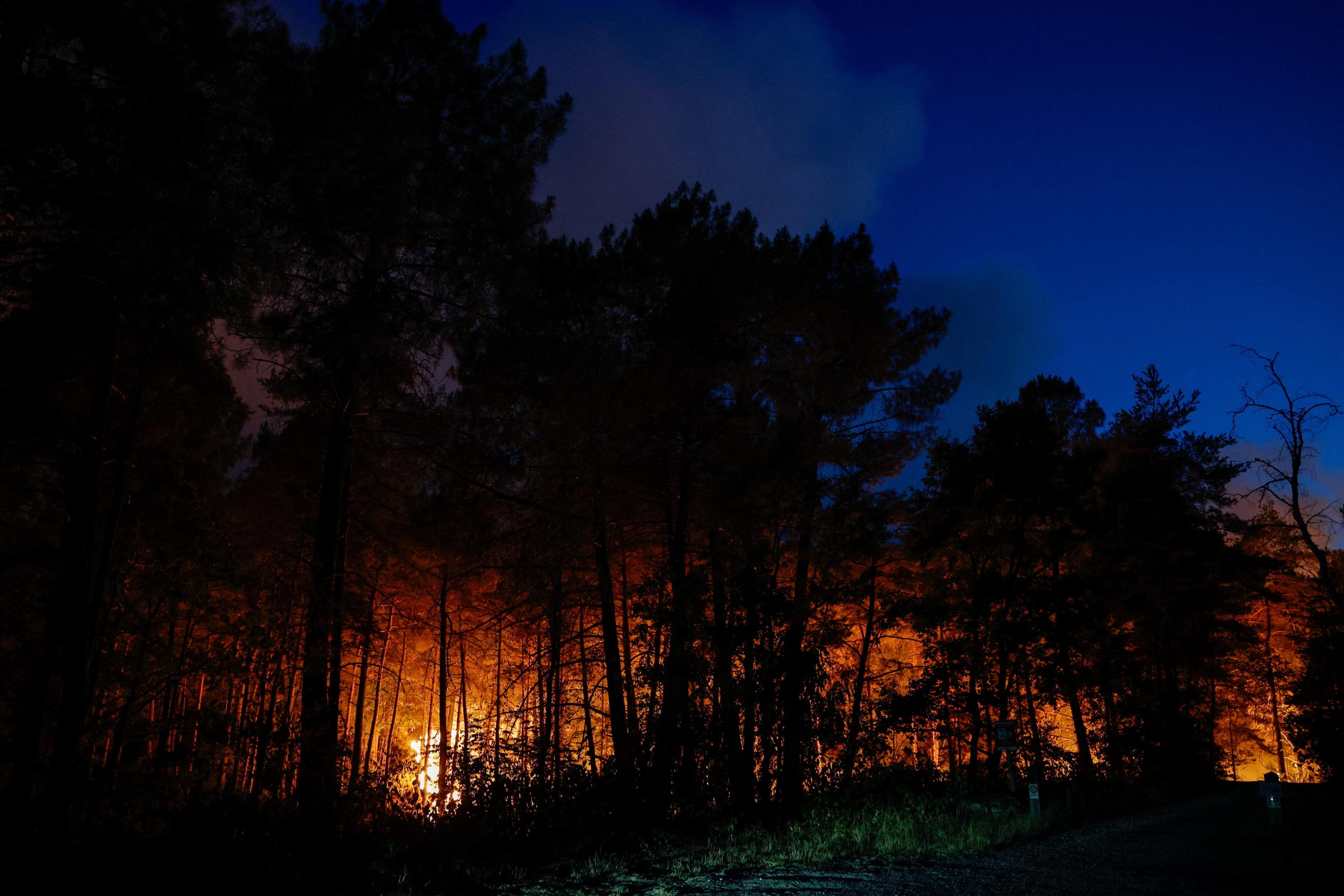
The Forest of Fontainebleau is currently experiencing wildfires of an exceptional scale. An interactive map has been released to visualize the affected areas and track the evolution of the situation in real-time. This tool allows the public to see the extent of the damage and monitor the progress of firefighting efforts. The map provides a dynamic overview of the ongoing crisis within this significant natural area. Residents and interested parties can use this resource to stay informed about the fire's spread and containment. The visualization aims to offer clarity on the severity of the incident. The situation in Fontainebleau Forest highlights the challenges of managing large-scale wildfires. The interactive map serves as a crucial information hub during this critical period.
The deployment of an interactive map to visualize ongoing wildfires in the Fontainebleau Forest demonstrates a modern approach to public information dissemination during environmental crises. This tool offers transparency and allows for a data-driven understanding of the event's scope, moving beyond traditional news reporting. Such visualizations can empower citizens and inform policy decisions by clearly illustrating the impact of climate-related events and the effectiveness of response strategies. In the context of an increasingly AI-driven world, the ability to process and present complex spatial data in an accessible format is becoming paramount for effective governance and public engagement with environmental challenges.
AI-generated to prompt reflection — not editorial opinion, not advice, not a statement of fact. How this works.