Interactive Map Shows Ongoing Wildfires in Pyrénées-Orientales
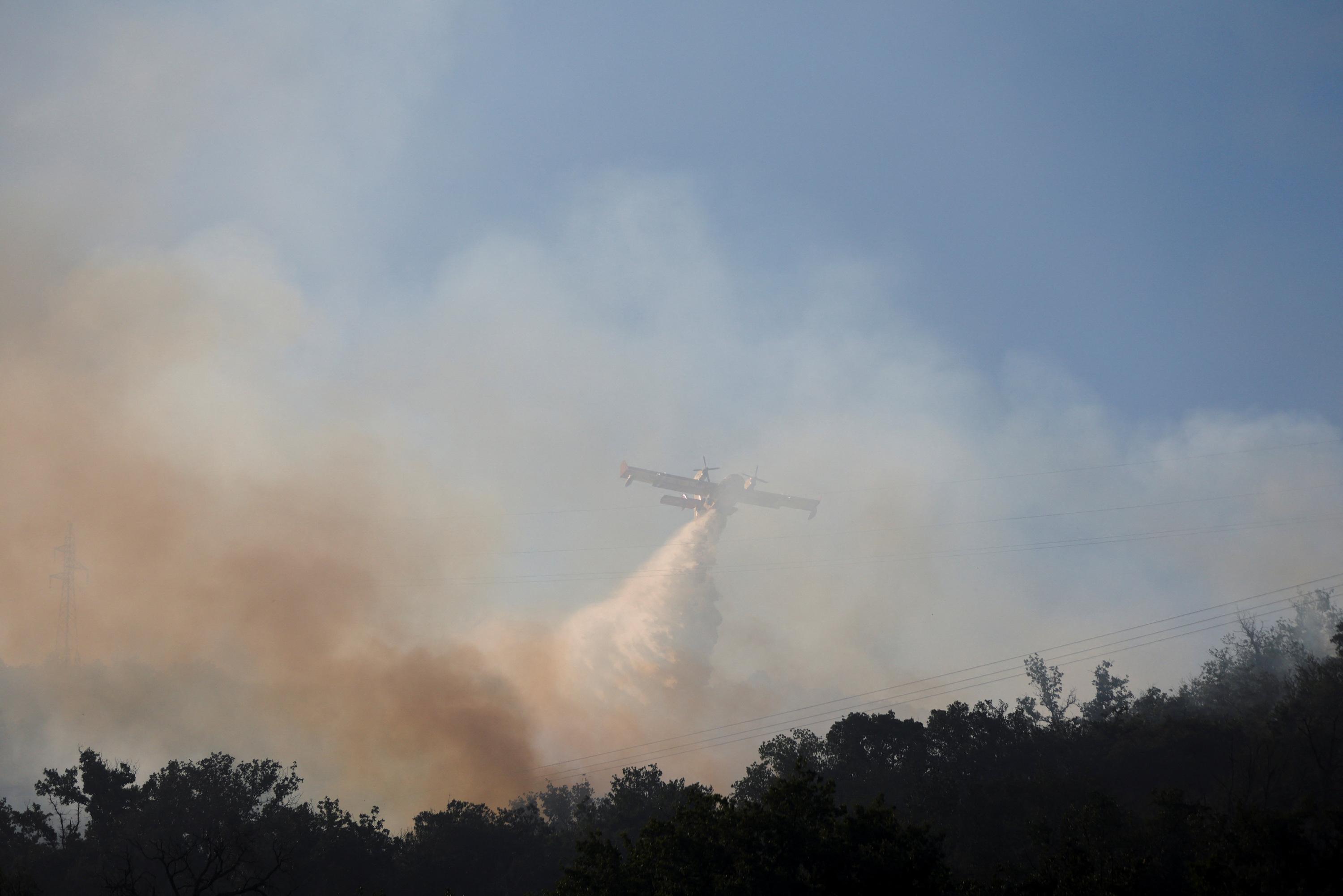
An interactive map allows visualization of ongoing wildfires in the Pyrénées-Orientales region of France. According to the prefecture, one significant fire has already consumed 4,600 hectares. The map provides real-time updates on the affected areas and the evolution of the situation. Residents and interested parties can use this tool to track the spread and impact of the fires. This resource aims to offer clarity on the extent of the damage and the ongoing efforts to control the blazes. The situation highlights the ongoing challenges faced by the region in managing natural disasters.
The deployment of interactive mapping technology for wildfire events provides a crucial tool for situational awareness and public information dissemination. Such tools can empower communities by offering transparent data on the scale and progression of fires, potentially aiding in evacuation planning and resource allocation. From a systems perspective, the effectiveness of these maps hinges on the accuracy and timeliness of data input from emergency services. The ongoing challenge for regions like Pyrénées-Orientales lies in integrating real-time data streams with robust response mechanisms, especially as climate change increases the frequency and intensity of such events. Future preparedness will likely involve more sophisticated predictive modeling and automated data aggregation to enhance response times and mitigate widespread damage.
AI-generated to prompt reflection — not editorial opinion, not advice, not a statement of fact. How this works.