Interactive Map Shows Ongoing Wildfires Near Arcachon Basin
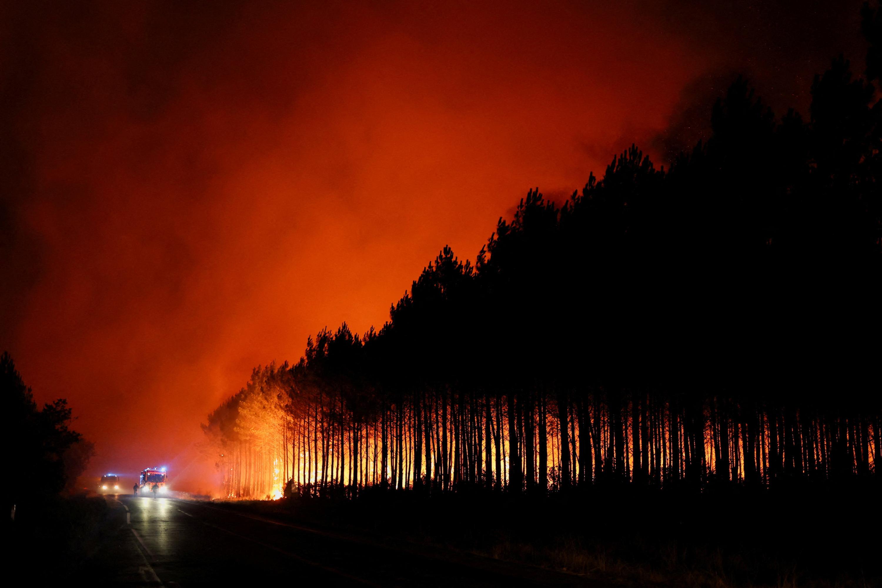
A wildfire that began in Gironde on Wednesday has now spread across 3,100 hectares. An interactive map is available to visualize the affected areas and track the evolving situation. The map provides a live view of the fire's progression and the extent of the damage. This tool aims to offer clarity on the scale of the incident and its geographical impact. Residents and authorities can use this resource to understand the fire's reach and response efforts. The situation remains dynamic, with the map being updated to reflect real-time developments. The fire's current status and affected zones are crucial for ongoing management and public awareness. The visualization helps in grasping the severity of the event near the Arcachon Basin.
The provision of an interactive map for the Gironde wildfire offers a valuable tool for situational awareness and public information. Such visualizations can democratize access to critical data, enabling a more informed public response and potentially aiding coordination among emergency services. By presenting the fire's extent and evolution, the map serves to de-escalate potential panic by grounding concerns in observable facts. Looking ahead, the integration of real-time environmental data, such as wind patterns and fuel moisture, into similar future mapping tools could significantly enhance predictive capabilities and resource allocation strategies in wildfire management.
AI-generated to prompt reflection — not editorial opinion, not advice, not a statement of fact. How this works.