Ivory Coast Parks Office Adopts Satellite Monitoring for Forest Protection
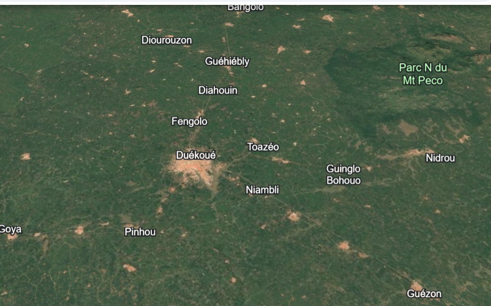
The Ivory Coast Parks and Reserves Office (OIPR) is advancing its conservation efforts through technological modernization. The OIPR is implementing satellite monitoring systems to enhance the protection of forests in the western region of the country. This initiative represents a significant step in updating the tools used for environmental conservation. The adoption of satellite technology aims to provide more effective surveillance and management of these vital forest areas. This move is expected to bolster the OIPR's capacity to combat deforestation and other threats to biodiversity. The specific details of the satellite technology and its deployment are part of this new phase of modernization. The OIPR's commitment to leveraging advanced tools underscores its dedication to preserving Ivory Coast's natural heritage.
The OIPR's integration of satellite monitoring signifies a strategic shift towards data-driven conservation, leveraging technological advancements to address environmental challenges. This approach allows for broader spatial coverage and more timely detection of potential threats compared to traditional ground patrols. By adopting such tools, the OIPR aims to improve the efficiency and effectiveness of forest management, potentially leading to better resource allocation and more proactive interventions. The long-term success will depend on the system's accuracy, the capacity for data analysis, and the integration of this information into actionable conservation strategies. This move positions Ivory Coast to better manage its natural resources in an era of increasing environmental pressures and global climate change concerns.
AI-generated to prompt reflection — not editorial opinion, not advice, not a statement of fact. How this works.