Lebanese War Displaced Use Satellite Imagery to Monitor Homes
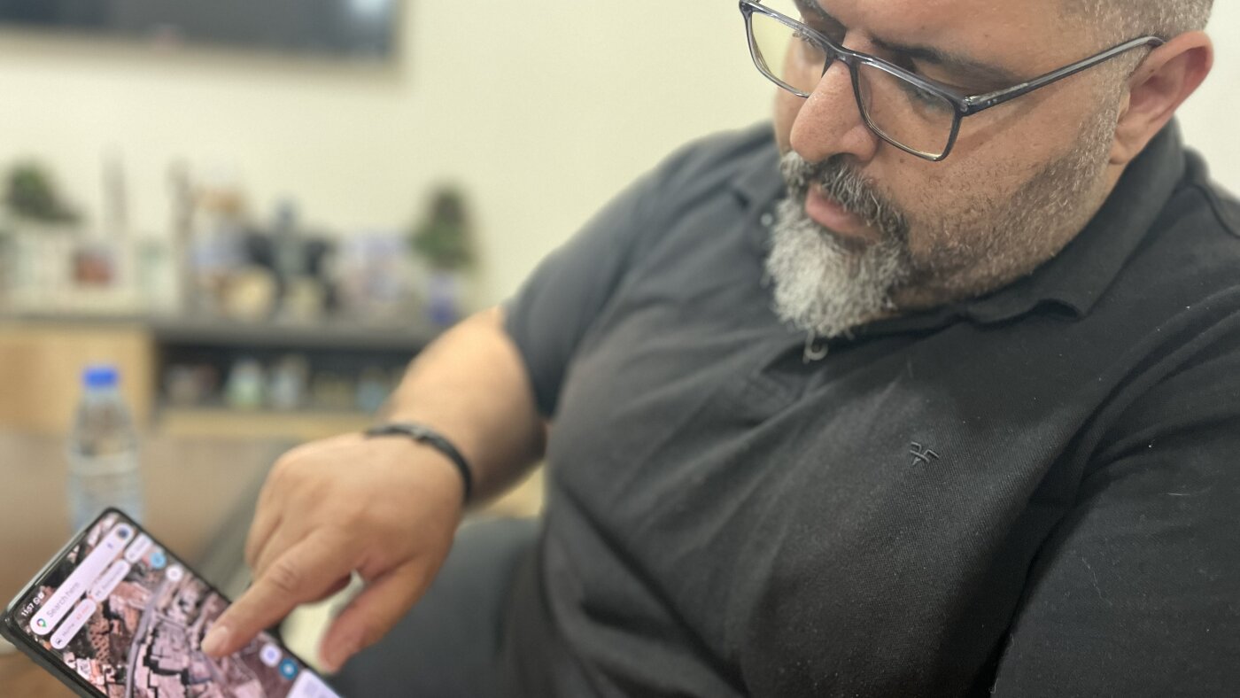
Lebanese citizens displaced by the conflict in southern Lebanon have resorted to purchasing satellite images to assess the condition of their homes. Unable to physically return to their properties due to the ongoing war with Israel, these individuals are seeking visual confirmation of whether their houses have survived the hostilities. This innovative approach highlights the challenges faced by those displaced by conflict, who are cut off from their homes and livelihoods. The use of satellite technology provides a remote means of monitoring damage and potentially planning for future return or reconstruction. It underscores the significant impact of the war on civilian populations and their property in southern Lebanon.
The reliance on satellite imagery by displaced Lebanese civilians demonstrates a novel adaptation to the constraints imposed by armed conflict. This practice highlights the increasing accessibility of geospatial data and its utility in personal contexts, moving beyond traditional military or scientific applications. It also points to a broader trend where technology can bridge physical distances created by crises, offering a degree of situational awareness and emotional connection to lost homes. From a systemic perspective, the situation underscores the profound disruption of civilian life and property rights during wartime, prompting consideration of international legal frameworks and humanitarian aid mechanisms for monitoring and recovery efforts in conflict zones.
AI-generated to prompt reflection — not editorial opinion, not advice, not a statement of fact. How this works.