Magnitude 5.9 Earthquake Hits Kermadec Islands Region
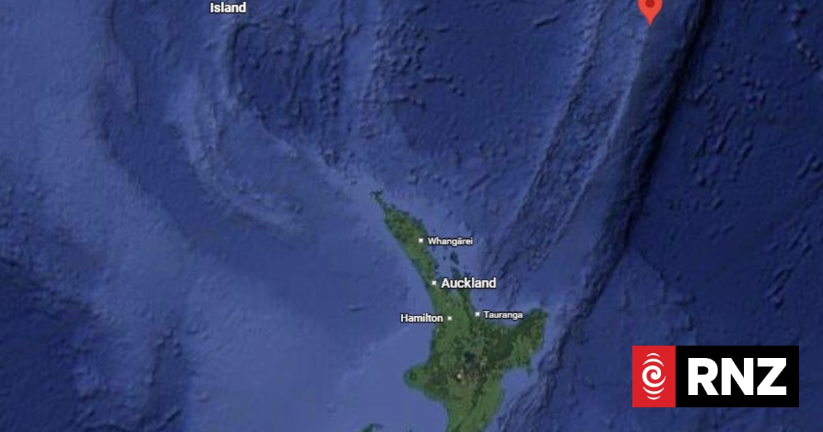
A magnitude 5.9 earthquake occurred in the region of the Kermadec Islands. These islands are located approximately 800 to 1000 kilometers northeast of New Zealand's North Island. The seismic event was registered in this remote oceanic area. No immediate reports of damage or casualties were specified in the provided information. The Kermadec Islands are part of New Zealand's territory and lie on the Pacific Ring of Fire, an area known for frequent seismic activity. This region is characterized by the subduction of the Pacific Plate beneath the Australian Plate, which generates significant earthquake and volcanic activity. The depth and specific location within the Kermadec Islands region would typically determine the potential impact on any inhabited areas or marine ecosystems. Further details regarding the earthquake's epicenter and depth are usually released by geological agencies.
This seismic event in the Kermadec Islands region, a known geologically active zone, highlights the ongoing tectonic forces shaping the Pacific Ring of Fire. While a magnitude 5.9 earthquake is significant, its impact is largely mitigated by the remote location of the islands, minimizing potential human or infrastructural consequences. The frequency of such events in this area underscores the importance of robust geological monitoring systems and preparedness strategies for seismically active regions globally. Understanding the long-term patterns of plate movement and stress accumulation in this subduction zone is crucial for forecasting future seismic activity and informing risk management.
AI-generated to prompt reflection — not editorial opinion, not advice, not a statement of fact. How this works.