Mamula Island: A Key to Fairer Montenegro Border Demarcation
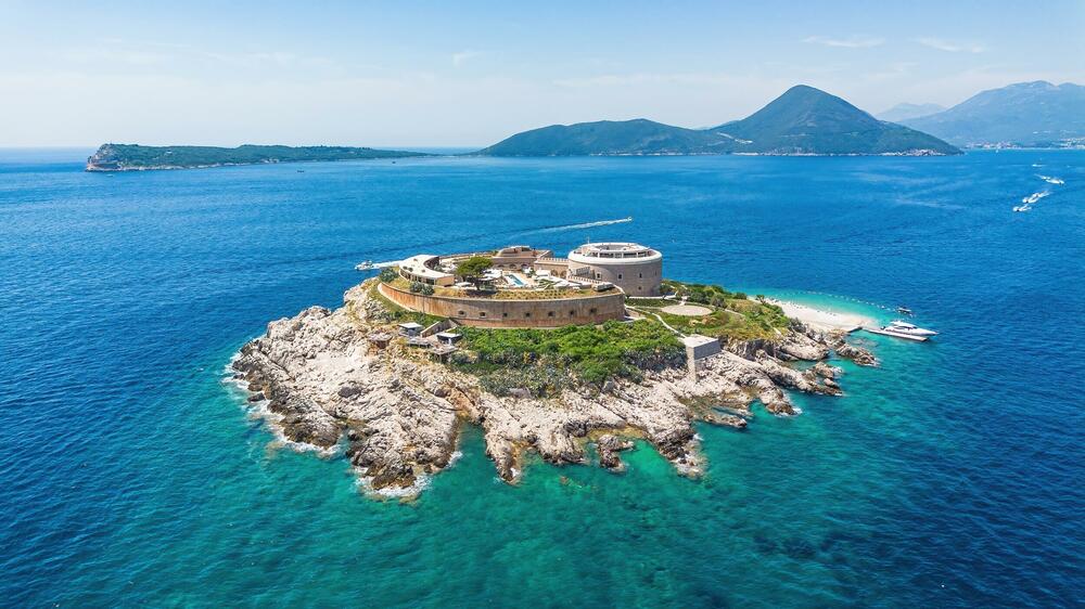
A proposal suggests utilizing Mamula Island as a pivotal point for a more equitable border demarcation between Montenegro and an unnamed neighboring country. This approach, according to Hadžić, would allow the border to be defined based on the actual geographical configuration of the Bay of Kotor's entrance, rather than relying solely on mathematical geometry. Such a method could yield significant benefits for Montenegro. The current reliance on purely geometric calculations for border definition may not accurately reflect the natural maritime boundaries and could lead to disputes or disadvantageous arrangements. By incorporating natural features like Mamula Island into the demarcation process, Montenegro could secure a more favorable and historically justifiable border. This revised strategy aims to ensure that territorial waters and access points are recognized according to their physical reality, potentially strengthening Montenegro's maritime claims and resource management.
The proposed shift from purely geometric border definitions to a model incorporating natural geographical features like Mamula Island for the Bay of Kotor presents an interesting case study in maritime boundary negotiation. This approach could be seen as an attempt to harmonize international law with natural geography, potentially leading to more stable and mutually agreeable borders by acknowledging physical realities. Such a strategy might also reflect a broader trend of nations seeking to leverage unique geographical assets in territorial disputes, moving beyond abstract mathematical lines. The long-term implications of prioritizing natural configurations could influence future border settlements globally, emphasizing a more holistic and context-aware approach to territorial integrity and resource access in the coming decade.
AI-generated to prompt reflection — not editorial opinion, not advice, not a statement of fact. How this works.