Map of Forest Fires Ravaging France: 115,000 Hectares Burned in 2026
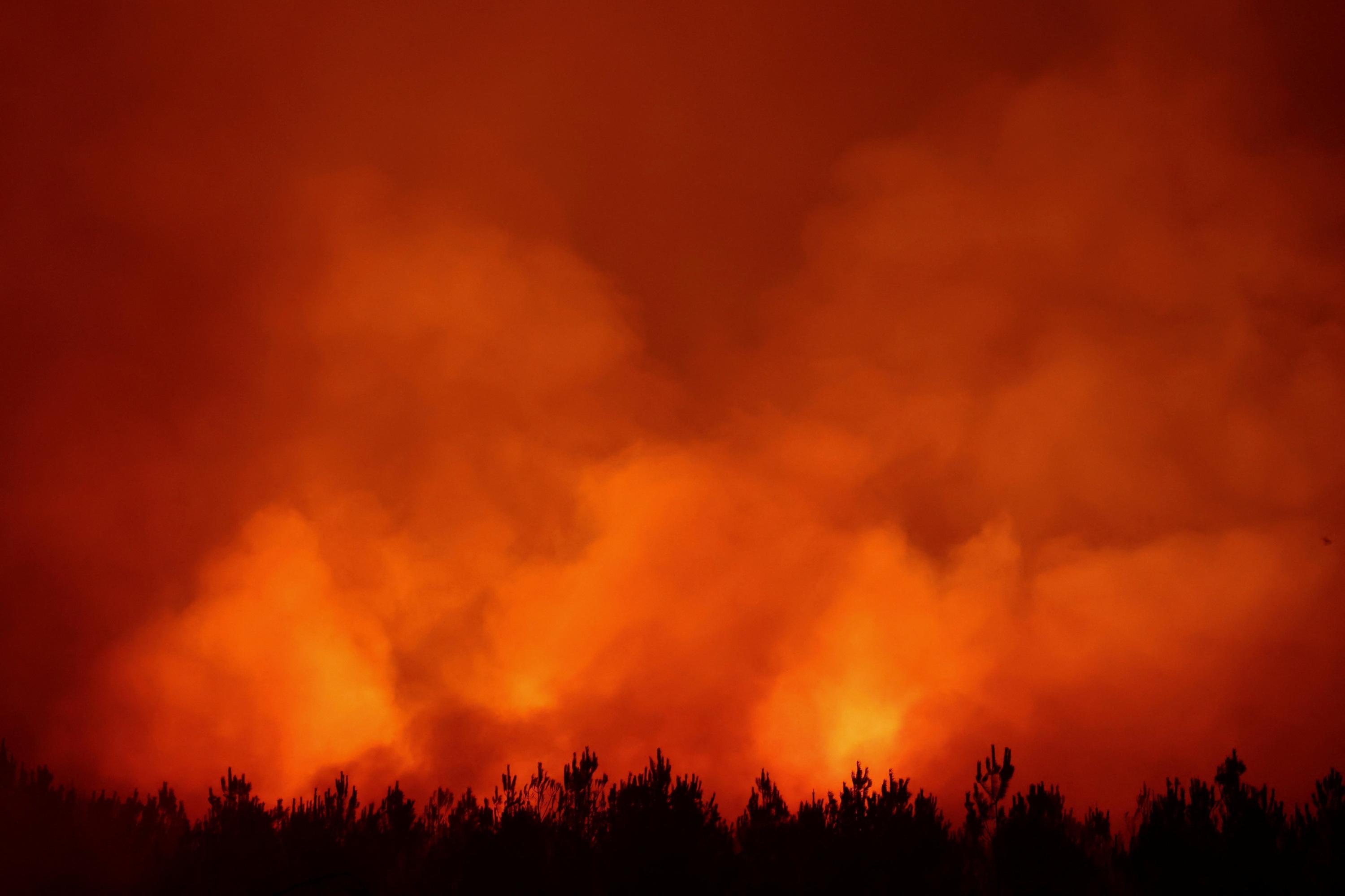
Forest fires have significantly impacted several regions across France in 2026, with approximately 115,000 hectares consumed by flames throughout the country. Areas such as Gironde, Landes, Var, and Corse have been particularly affected by the devastating blazes. A live map visualizes the affected zones and tracks the evolving situation, providing an overview of the extent of the damage. The fires underscore a critical environmental challenge facing the nation, requiring ongoing monitoring and response efforts. The scale of destruction highlights the vulnerability of French landscapes to such events. Authorities continue to manage the ongoing incidents and assess the long-term consequences. The provided map serves as a crucial tool for understanding the geographical spread and severity of the fires. This data reflects a substantial environmental toll in 2026.
The extensive forest fires across France in 2026, impacting 115,000 hectares, highlight the escalating environmental risks associated with climate change and land management practices. The geographical distribution of these fires across diverse regions suggests a systemic vulnerability rather than isolated incidents. Future mitigation strategies will likely need to integrate advanced climate modeling, improved early detection systems, and potentially revised land-use policies to enhance resilience against increasingly severe fire seasons. The long-term ecological and economic consequences necessitate a comprehensive assessment of response effectiveness and proactive adaptation measures.
AI-generated to prompt reflection — not editorial opinion, not advice, not a statement of fact. How this works.