Map of Forest Fires Ravaging France in 2026
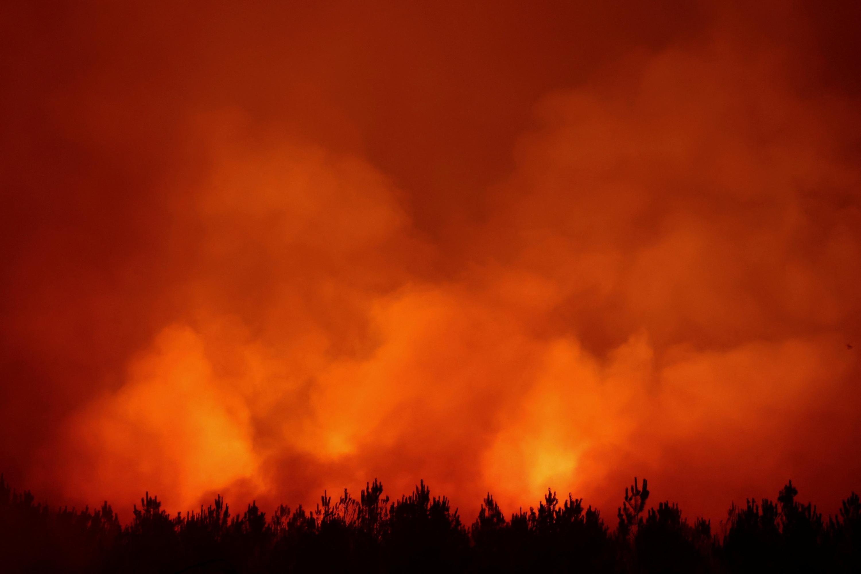
In 2026, forest fires have significantly impacted France, with approximately 115,000 hectares burned across the country. Major affected regions include Gironde, Landes, Var, and Corse. A live map visualizes the affected areas and tracks the evolving situation. This interactive tool allows the public to understand the geographical extent and progression of the blazes. The data highlights the severity of the fire season and its widespread consequences on French territory. Authorities are likely monitoring these events closely to manage containment efforts and assess the environmental damage. The map serves as a crucial resource for understanding the scale of the crisis and its distribution across different departments.
The widespread forest fires across France in 2026, impacting approximately 115,000 hectares, underscore the escalating challenges posed by climate change and land management practices. The visualization of affected areas, including Gironde, Landes, Var, and Corse, highlights the systemic vulnerability of French ecosystems to extreme weather events. Future strategies will need to integrate advanced fire prediction models, enhanced resource allocation for rapid response, and long-term ecological restoration plans. Examining the interplay between meteorological conditions, human activity, and forest density will be critical for developing resilient landscapes capable of mitigating future fire risks in the coming decade.
AI-generated to prompt reflection — not editorial opinion, not advice, not a statement of fact. How this works.