Map of Forest Fires Ravaging France in 2026
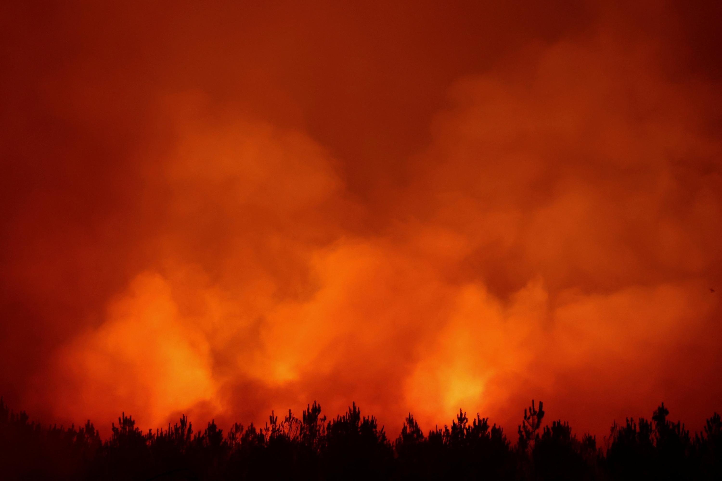
As of 2026, approximately 117,000 hectares of land have been affected by forest fires across France. This includes significant areas in regions such as Gironde, Var, Côte-d’Or, and Fontainebleau. A live map is available to visualize the affected zones and track the evolving situation. The data highlights the widespread impact of these fires throughout the country. The map provides a visual representation of the scale and distribution of the damage caused by the infernos. This interactive tool allows users to understand the geographical extent of the crisis. The total area burned underscores the severity of the wildfire season. Residents and authorities can use this resource to monitor ongoing incidents and assess the affected landscapes. The visualization aims to provide clarity on the areas impacted by the destructive fires.
The extensive area burned by wildfires in France in 2026, totaling 117,000 hectares, points to significant environmental and resource management challenges. This scale of destruction, spanning multiple regions, suggests a confluence of factors including climate change-induced drought conditions, land management practices, and potentially human activity. The availability of a live map indicates a governmental or organizational effort to improve transparency and response coordination. Looking ahead, such events highlight the increasing need for robust, long-term strategies that integrate climate adaptation, sustainable land use, and advanced fire prevention technologies. The recurring nature of these incidents necessitates a systemic approach to mitigate future risks and protect vulnerable ecosystems and communities.
AI-generated to prompt reflection — not editorial opinion, not advice, not a statement of fact. How this works.