Mato Grosso braces for weather shift: Cold front to bring rain and cooler temperatures
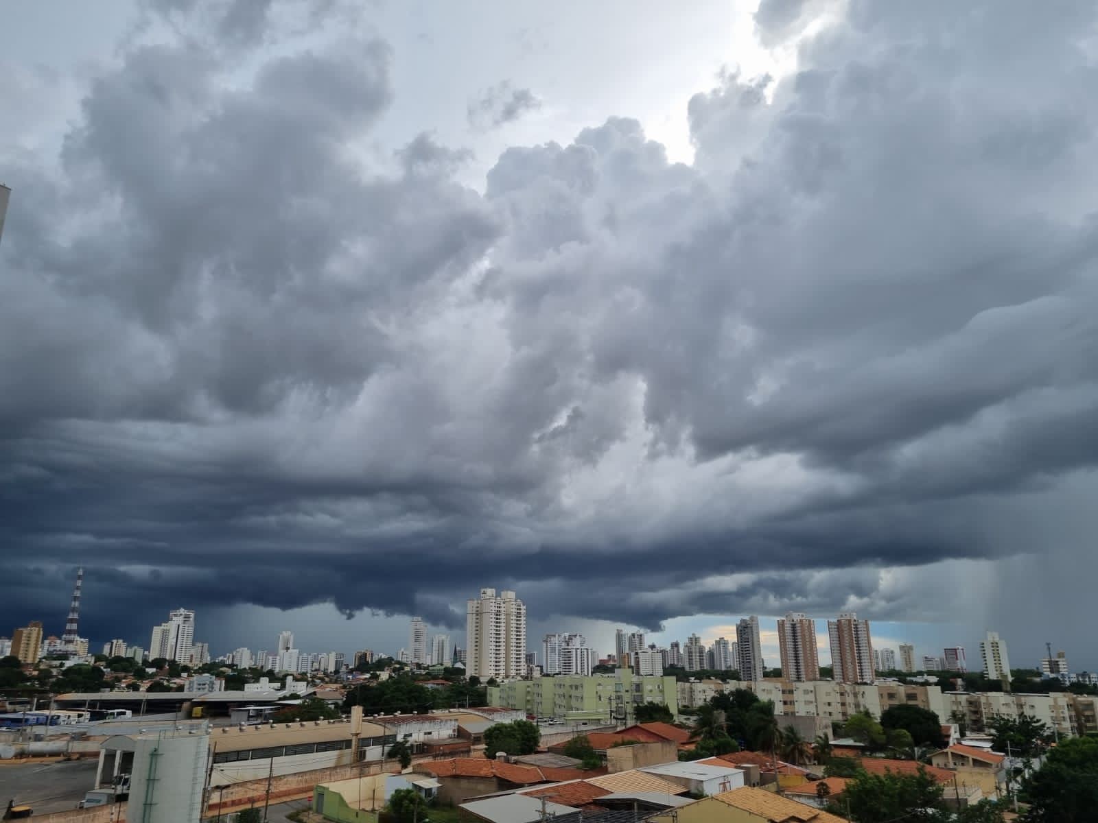
Mato Grosso is set to experience a significant weather change this weekend as a cold front approaches, promising a shift from the current heat. While Friday, May 10th, will remain hot, the forecast indicates an increase in humidity over the state, leading to isolated rain showers throughout Saturday and Sunday. This atmospheric shift will pave the way for a cooler period, with a notable drop in temperatures expected starting Monday, May 13th.
In Cuiabá, Friday will be sunny with some clouds, but no rain is anticipated, and temperatures will range between 21°C and 35°C. Similar conditions are expected across much of the state, with high temperatures persisting. The northern and northeastern regions may see the highest maximums, reaching up to 36°C in Alto Boa Vista and Serra Nova Dourada. Other areas like Canarana and Luciara could hit 35°C, while Rondonópolis, Sinop, and Confresa might reach 34°C. Tangará da Serra is forecast to have a maximum of 31°C. The state continues to grapple with low humidity, with Cuiabá and Várzea Grande potentially experiencing levels around 21% in the afternoon, a level considered concerning.
The weather transformation begins on Saturday, May 11th, with increased moisture raising the possibility of scattered rain, particularly in the western, northwestern, and northern parts of Mato Grosso. Expected rainfall amounts range from 10 to 17 millimeters in municipalities such as Comodoro, Aripuanã, and Alta Floresta. Despite these showers, Saturday will largely remain warm. Cuiabá's maximum temperature is expected to be around 32°C, with no significant rain. On Sunday, May 12th, Cuiabá's maximum temperature is predicted to be 30°C, with a chance of light rain late at night or early Monday morning. The combination of increased moisture and advancing cold air will initiate the temperature decline, with a more substantial cooling effect anticipated on Monday, May 13th, as a polar air mass is expected to bring a cold snap, most significantly impacting the southern region of the state and Cuiabá.
The incoming cold front signifies a typical seasonal transition, driven by atmospheric pressure gradients and moisture advection. While framed as a welcome relief from heat and low humidity, the event also highlights the recurring challenge of maintaining adequate air moisture levels in the region, a factor with implications for public health and agriculture. The forecast of isolated showers suggests localized rainfall patterns, underscoring the variability of weather systems and the need for robust water resource management strategies. The subsequent drop in temperature, while predictable, will test the resilience of infrastructure and energy grids, prompting considerations for adaptation to fluctuating climate conditions. This cyclical pattern of heat, humidity shifts, and temperature drops warrants a long-term assessment of regional climate trends and their impact on ecological and societal systems.
AI-generated to prompt reflection — not editorial opinion, not advice, not a statement of fact. How this works.