Mato Grosso do Sul Faces Dry Conditions, but Western Areas May See Rain
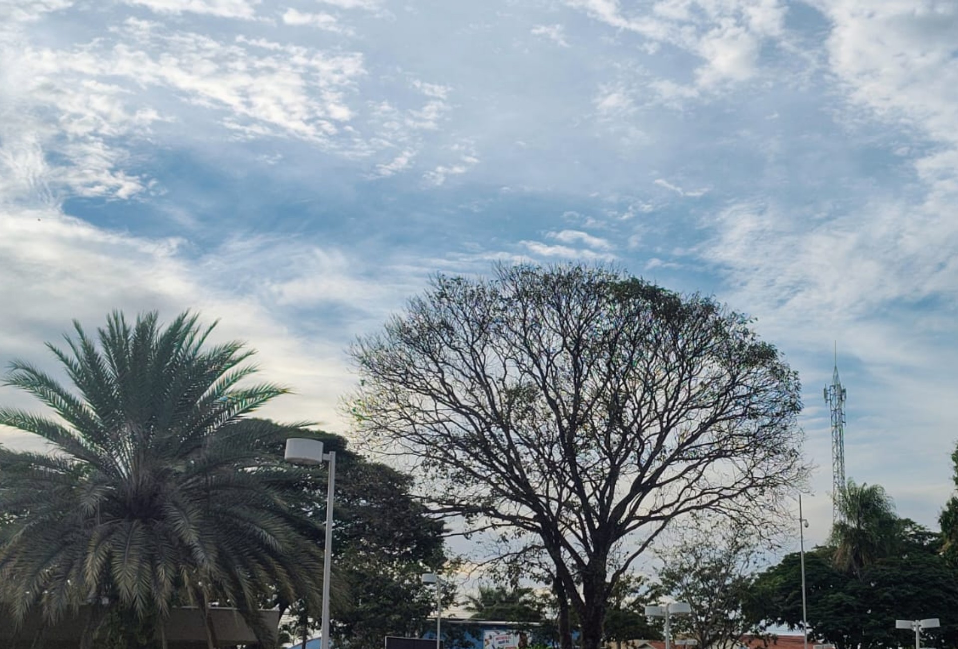
Mato Grosso do Sul began the week on Monday, August 3rd, with predominantly dry weather and high temperatures across most of the state, characteristic of August. A dry air mass is responsible for the stable conditions, though many cities experienced significant cloud cover in the morning. Morning temperatures varied, with readings from 17°C in Chapadão do Sul to 22°C in Ponta Porã. The afternoon is expected to bring increased heat, particularly in the northern and eastern regions, with Sonora forecast to reach 33°C. Meanwhile, Camapuã and Paranaíba anticipate highs of 31°C, Três Lagoas 30°C, and Paranhos and Ponta Porã 26°C. The low humidity, expected to range between 20% and 30% during the hottest hours, poses a health concern, prompting advice for increased hydration and avoiding strenuous outdoor activities. Conversely, western municipalities experienced relief over the weekend with rainfall, notably Bonito, which recorded approximately 39 millimeters on Sunday. Corumbá also saw about 13 millimeters of rain. These western areas now report humidity levels above 60%. For Monday, scattered showers and potential thunderstorms are forecast for western, northwestern, and southwestern parts of Mato Grosso do Sul, including Porto Murtinho and Antônio João. Campo Grande, however, expects continued dry weather with temperatures between 21°C and 27°C, slightly cooler due to cooler winds influenced by a distant cold front. Temperatures in the capital are projected to rise again by mid-week, with no rain currently predicted. The forecast for August suggests a generally hot and dry month, typical for the season, with the possibility of two cold fronts potentially bringing rain and possibly leading to above-average precipitation for the month.
The weather pattern in Mato Grosso do Sul highlights the interplay between regional atmospheric conditions and broader meteorological influences. While a dominant dry air mass dictates the general trend, localized precipitation in western areas suggests microclimatic variations or the influence of residual weather systems. The low humidity poses a public health challenge, underscoring the importance of public awareness regarding hydration and heat exposure, particularly in regions experiencing significant temperature increases. Looking ahead, the forecast of intermittent cold fronts suggests that August may not be uniformly dry, potentially mitigating prolonged drought conditions and aligning with broader climate models that predict shifts in precipitation patterns due to evolving global weather dynamics.
AI-generated to prompt reflection — not editorial opinion, not advice, not a statement of fact. How this works.