Nearly 400 new Amazonian geoglyphs discovered using advanced laser mapping
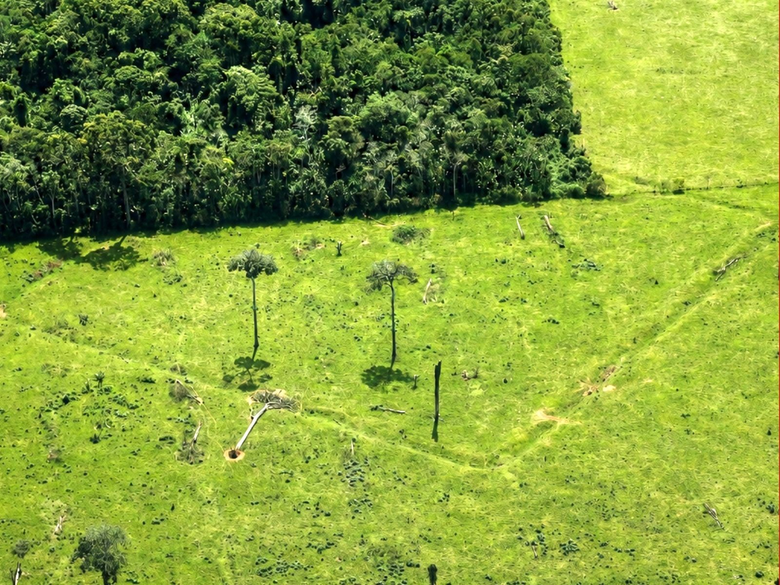
Scientists have identified 396 previously unknown geoglyphs in the southern Amazon rainforest through aerial surveys utilizing 3D laser mapping technology. This advanced technique, known as LiDAR, can penetrate the forest canopy to reveal ground topography, uncovering structures invisible to satellite imagery. The research, published in Nature, covered approximately 4,800 square kilometers across parts of Acre, southern Amazonas, Bolivia, and Peru. Previously, only 36 geoglyphs were known in this specific mapped region, bringing the total to 432. These geoglyphs are large earthwork constructions, often geometric in shape, created by ancient peoples. The study, a collaboration between Brazilian and Finnish researchers, involved flights originating from Rio Branco and Manoel Urbano in Acre, extending into Amazonas. This discovery significantly expands the known count of these ancient Amazonian earthworks. The findings suggest a much larger presence of these structures than previously understood, potentially up to 30,000 in a broader 185,000 square kilometer area. The research also challenges traditional archaeological assumptions by indicating that these geoglyphs were built in interfluvial regions, further from major rivers, suggesting sophisticated adaptation to the Amazonian environment. The geoglyphs are attributed to the Aquiry civilization, with construction dating from as early as 600-400 BCE to around 900 CE, indicating a construction and occupation period of approximately 1,500 years. Researchers estimate that between 100 and 300 CE, the population associated with these geoglyphs could have ranged from 1.25 million to 3 million people over time, requiring complex societal organization for their construction and maintenance.
This research leverages advanced LiDAR technology to overcome the limitations of traditional satellite imagery, revealing a significant number of previously hidden geoglyphs. The findings challenge conventional understandings of ancient Amazonian settlement patterns, suggesting a more widespread and complex human occupation of the region than previously assumed, particularly in areas away from major river systems. The sheer scale of the estimated geoglyph population implies sophisticated social organization and resource management capabilities among the Aquiry civilization. This discovery underscores the importance of non-invasive remote sensing technologies in archaeological exploration and highlights the vast unknowns still present in understanding pre-Columbian Amazonia. Future research will likely focus on correlating these findings with other archaeological evidence and exploring the environmental and social factors that enabled such extensive earthwork construction.
AI-generated to prompt reflection — not editorial opinion, not advice, not a statement of fact. How this works.