New York Mayor Excludes Historic Immigrant Neighborhoods from Official Map
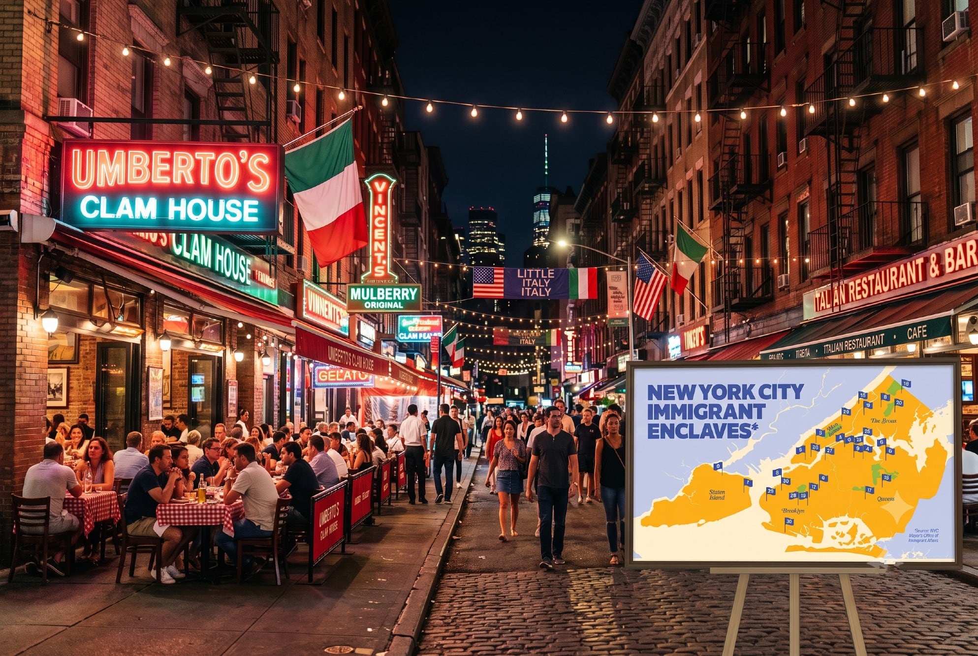
The mayor of New York City has released an official map of immigrant enclaves, but several historically significant neighborhoods have been notably excluded. Little Italy, Little Ireland, and Borough Park, all well-known enclaves with deep roots in immigrant history, were not included in the final map. This decision has sparked questions and debate about the criteria used for inclusion and the representation of the city's diverse immigrant heritage. The exclusion of these areas, which have long been associated with specific immigrant communities, raises concerns about how the city defines and acknowledges its multicultural identity. The map aims to highlight areas with a significant foreign-born population, but the omission of these iconic neighborhoods suggests a potentially narrow or contested definition of what constitutes an immigrant enclave in contemporary New York City. Further clarification is expected regarding the specific metrics and historical considerations that led to these particular exclusions.
The mayor's office's decision to exclude established immigrant neighborhoods like Little Italy and Little Ireland from an official map of enclaves warrants examination of the underlying data and criteria. Such omissions may reflect evolving demographic patterns or a shift in how 'enclave' status is defined, potentially prioritizing newer immigrant groups or specific socio-economic indicators over historical significance. Understanding the methodology behind the map's creation is crucial to assess whether it accurately represents the city's complex immigrant tapestry or inadvertently overlooks communities that have shaped its identity for generations. This situation presents an opportunity to discuss the dynamic nature of urban neighborhoods and the challenges of mapping cultural heritage in a rapidly changing metropolis.
AI-generated to prompt reflection — not editorial opinion, not advice, not a statement of fact. How this works.