Northeast Faces Flood Risk as Storm System Moves In
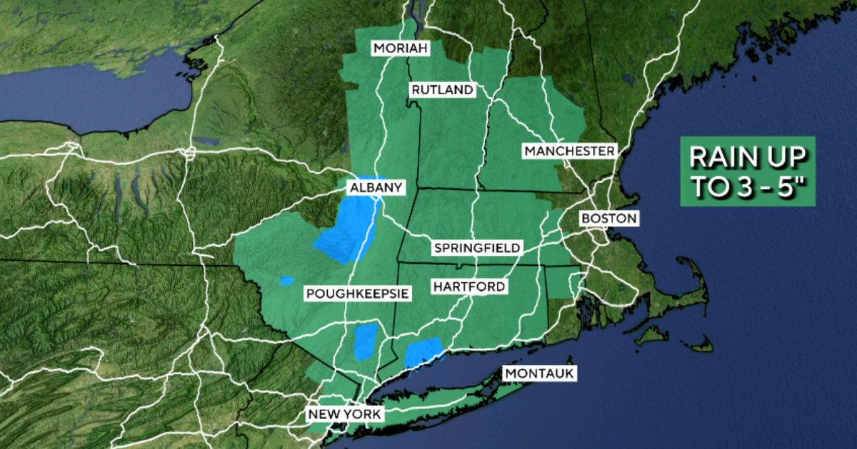
A storm system that previously caused dangerous tornadoes in the Midwest is now impacting New England. This system is bringing heavy rainfall across multiple states in the Northeast region. Maps have been released to highlight the areas that are most at risk of flooding due to the precipitation. The current weather pattern indicates a significant threat of inundation for communities in these states. Residents are advised to be aware of the potential flood risks as the storm progresses. The movement of the storm from the Midwest to New England signifies a shift in weather patterns. The heavy rainfall is expected to exacerbate existing vulnerabilities to flooding in the affected areas. Authorities are monitoring the situation closely and providing updated information on flood-prone zones.
The convergence of severe weather systems across different regions of the United States highlights the increasing unpredictability of climate patterns. This event underscores the critical need for robust infrastructure and early warning systems capable of mitigating the impact of extreme weather. As such events become more frequent, urban planning and disaster preparedness strategies must evolve to incorporate climate resilience, focusing on sustainable land use and water management to reduce flood vulnerability in the coming decade.
AI-generated to prompt reflection — not editorial opinion, not advice, not a statement of fact. How this works.