Over 100 Villages in Bajura Face High Risk of Floods and Landslides
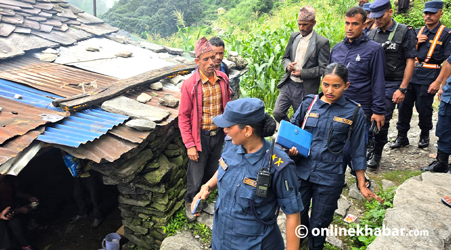
According to the recently released 'Disaster Preparedness and Response Plan 2083' by the District Disaster Management Committee, all nine local levels in Bajura district are at high risk. This assessment indicates that over 100 villages within the Bajura district are particularly vulnerable to floods and landslides. The plan highlights the critical need for preparedness and effective response strategies to mitigate potential damage and ensure the safety of residents in these high-risk areas. The designation of all local government units as high-risk underscores the pervasive threat across the entire district. This situation necessitates immediate attention and resource allocation for disaster management efforts. The committee's proactive release of the plan aims to preemptively address the dangers posed by natural calamities.
The 'Disaster Preparedness and Response Plan 2083' identifies a systemic vulnerability across all nine local government units in Bajura district, with over 100 villages deemed high-risk for floods and landslides. This broad-scale risk suggests underlying geographical or environmental factors that require comprehensive, long-term mitigation strategies rather than solely reactive measures. Future planning should consider climate change impacts and sustainable land-use policies to address the root causes of this elevated risk profile. The effectiveness of the response plan will depend on robust resource allocation, community engagement, and inter-agency coordination to build resilience against recurring natural disasters.
AI-generated to prompt reflection — not editorial opinion, not advice, not a statement of fact. How this works.