Paraná braces for cold front bringing heavy rain, storms, and hail
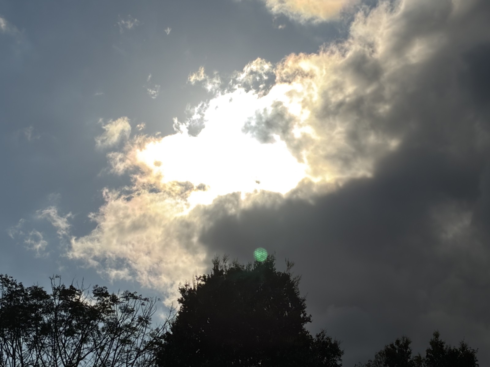
A significant cold front is set to impact Paraná, Brazil, starting Wednesday, July 22nd, bringing a sharp drop in temperatures, heavy rainfall, and severe thunderstorms. The Sistema de Tecnologia e Monitoramento Ambiental (Simepar) and the Instituto Nacional de Meteorologia (Inmet) have both issued warnings, with Inmet specifically alerting to the danger of storms. The forecast indicates potential for intense rainfall, ranging from 30 to 60 mm per hour or 50 to 100 mm per day, accompanied by strong winds of 60 to 100 km/h and the possibility of hail. These conditions are expected to affect 157 municipalities across the central, western, and southwestern regions of the state. Meteorologist Leonardo Furlan noted that the cold front began advancing from the south on Tuesday, July 21st, and will cause increased winds in the western and southern parts of Paraná. By Wednesday, widespread instability is predicted, with substantial rainfall expected in the interior, potentially exceeding 80 millimeters in some areas due to the anticipated thunderstorms. Looking ahead to Thursday, July 23rd, and Friday, July 24th, temperatures are expected to decrease, becoming more moderate, especially during the mornings. While the sun will reappear between clouds, isolated showers might occur, particularly near the border with São Paulo state and in the northern and eastern regions. By Friday, isolated instabilities and localized thunderstorms could re-emerge, with generally milder temperatures and increased cloud cover along the eastern coast, influenced by oceanic winds bringing moisture.
The impending cold front in Paraná highlights the dynamic weather patterns influenced by atmospheric shifts, particularly in South America. While the immediate concern is public safety and infrastructure resilience against severe weather events like heavy rain, strong winds, and hail, the broader context involves understanding the cyclical nature of such phenomena and their potential impacts on agriculture and water resources. Analyzing the frequency and intensity of these events over time can inform long-term planning for climate adaptation and disaster preparedness. The meteorological agencies' coordinated warnings underscore the importance of robust monitoring systems and clear communication channels for effective public advisories. Future weather forecasting models will likely integrate more sophisticated AI to predict localized extreme events with greater accuracy, enabling more targeted and timely interventions to mitigate risks.
AI-generated to prompt reflection — not editorial opinion, not advice, not a statement of fact. How this works.