Paraná Faces Storm Alerts After Cold Snap; El Niño Influences Rainfall Forecast
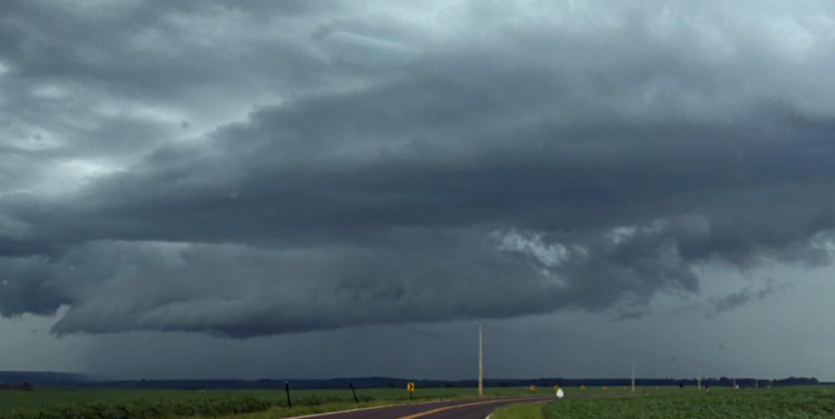
Following a week of cold temperatures and morning frost, the weather in Paraná, Brazil, is set to change significantly, with most of the state expected to experience rain this second weekend of July. The shift is attributed to a cold front moving offshore and increased moisture and heat from the north, intensifying instability and bringing rain starting Friday, July 10th. The System of Technology and Environmental Monitoring (Simepar) predicts strong downpours and intense wind gusts, prompting storm alerts across the state. A yellow alert is in effect for Friday afternoon and evening, warning of winds up to 60 km/h, hail, and rainfall of up to 30 mm/h or 50 mm/day in southern and western regions. Saturday, July 11th, sees broader yellow alerts for most of Paraná (excluding the north), with similar risks. A more severe orange alert is issued for the central-south, central-west, and southwest areas, indicating potential winds up to 100 km/h, hail, and rainfall up to 60 mm/h or 100 mm/day. Meteorologist Raissa Pimentel from Simepar noted that while Friday begins with stable weather, instability will develop in the west and southwest by morning, spreading to the southern half by afternoon. Saturday's system will evolve into a new cold front, bringing rain and thunderstorms to nearly all of Paraná. Sunday, July 12th, will see the cold front move away, with rain concentrated in the northern half and gradual clearing elsewhere. Temperatures are expected to drop slightly, with highs not exceeding 23°C, and a further temperature decrease is anticipated between Sunday and Monday, July 13th, with Monday morning predicted to be quite cold.
The forecast highlights the complex interplay of weather systems, including the influence of El Niño, on regional precipitation patterns in Paraná. The issuance of multiple storm alerts, ranging from yellow to orange, underscores the potential for severe weather events and the importance of preparedness for both public safety and infrastructure. This situation presents a recurring challenge for regions experiencing significant weather variability, necessitating robust early warning systems and adaptive planning to mitigate risks associated with extreme rainfall, high winds, and potential hail. The predicted temperature drop following the storms also points to the broader climatic shifts impacting the region, which can have implications for agriculture, energy consumption, and public health, particularly concerning seasonal affective disorders exacerbated by reduced sunlight and colder conditions.
AI-generated to prompt reflection — not editorial opinion, not advice, not a statement of fact. How this works.