Paraná State Endures Strong Winds, More Expected
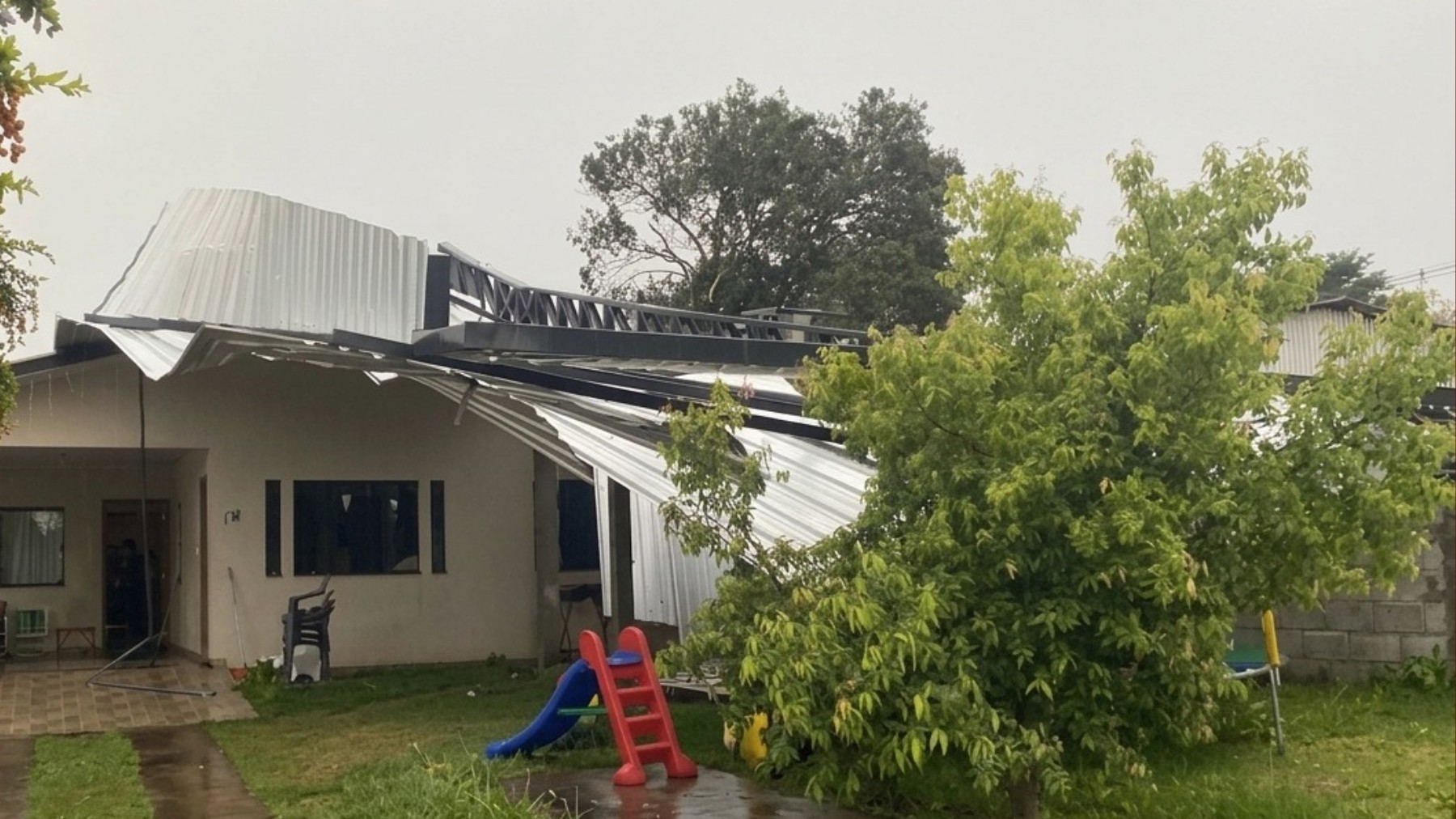
Paraná, Brazil, is experiencing continued strong winds following gusts of up to 145.4 km/h recorded on Wednesday, July 29th. The highest wind speed was registered at Pico Marumbi, a mountain in the Serra do Mar range. In urban areas, the strongest gust recorded by the Simepar system reached 81.4 km/h in General Carneiro, located in the state's south. Thursday, July 30th, is expected to bring atmospheric instability with moderate to heavy rain showers, particularly in the afternoon across the northern parts of the state. These localized storms, fueled by daytime heating and atmospheric moisture, could include wind gusts near 60 km/h. The western, southwestern, central-south, Campos Gerais, metropolitan region of Curitiba, and coastal areas will likely see overcast skies with a chance of isolated, brief rain showers. Winds in most of the state are forecast to be light to moderate, with gusts between 40-50 km/h along the southern, eastern, and coastal strips, posing no significant impact risk. In Curitiba, Thursday will feature a mix of sun and clouds, with a possibility of light, isolated rain in the afternoon or evening, mild temperatures between 13°C and 23°C, and occasional wind gusts without storm risk. Friday, July 31st, anticipates more stable atmospheric conditions across much of Paraná, with sunny periods and gradually rising afternoon temperatures. Rain chances will decrease, though isolated showers are possible in the north and northeast. Saturday, August 1st, is predicted to be mostly stable statewide, with clear skies and low chances of rain, except for very isolated, brief afternoon showers in the far north. Temperatures will remain mild in the mornings and pleasant in the afternoons, with highs around 23-24°C in Curitiba.
The meteorological events in Paraná highlight the dynamic and potentially severe weather patterns that can affect regions with varied topography. The significant wind speeds recorded, particularly at higher elevations like Pico Marumbi, underscore the importance of robust infrastructure and emergency preparedness. While the immediate forecast suggests a decrease in severe conditions, the recurring nature of strong winds and storms necessitates ongoing evaluation of early warning systems and public communication strategies. Future climate projections may indicate shifts in the frequency and intensity of such events, prompting a need for adaptive planning in urban and rural development to mitigate risks associated with extreme weather phenomena.
AI-generated to prompt reflection — not editorial opinion, not advice, not a statement of fact. How this works.