Pernambuco Alerted for Moderate to Heavy Rain, Rivers Reach Warning Levels
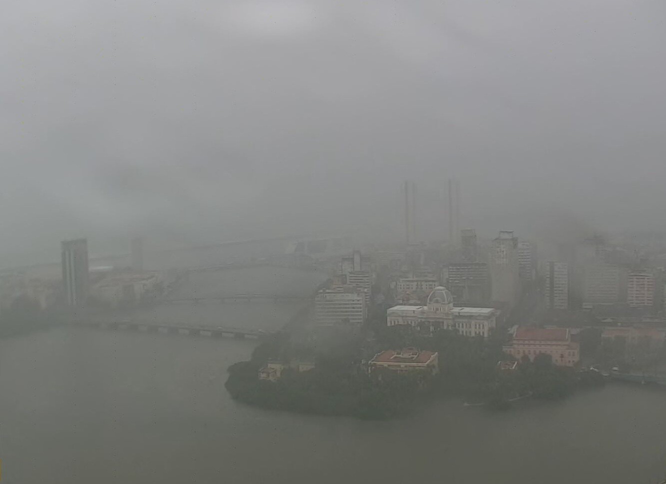
The Pernambuco Agency for Water and Climate (Apac) has issued a moderate to heavy rain alert for the Greater Recife and Zona da Mata regions of Pernambuco, Brazil, effective Thursday, May 23rd, until 10:30 PM. This "orange" level alert signifies a state of attention due to a moisture corridor drawing humidity from the ocean inland. Initially predicted as moderate, the rainfall intensity was upgraded. Meteorologist Fabiano Prestelo of Apac explained that this phenomenon was expected to bring more rain than initially forecast.
As of 8:40 AM, Ipojuca in the Metropolitan Region of Recife recorded the highest rainfall in 24 hours with 147 millimeters, followed by Cortês in Zona da Mata Sul with 132 millimeters. Apac anticipates a decrease in rainfall volume throughout the day, with less precipitation expected compared to the overnight and early morning hours. The agency also issued hydrological monitoring alerts for several rivers. The Capibaribe River in São Lourenço da Mata has reached its alert level, posing a potential flood risk to residents of São Lourenço da Mata, Camaragibe, and Recife. Similarly, the Amaraji River in Ribeirão and the Sirinhaém River near Barra de Guabiraba have also reached alert levels, with potential flooding impacting Ribeirão, Gameleira, and Cortês. The public is advised to stay informed and contact Civil Defense services for assistance, with contact numbers provided for various municipalities.
This alert from Apac highlights the dynamic nature of weather systems and their potential impact on urban and rural areas. The event underscores the importance of robust meteorological monitoring and timely public advisement to mitigate risks associated with extreme weather. As climate patterns evolve, agencies like Apac play a critical role in translating scientific data into actionable warnings, enabling communities to prepare for and respond to potential hazards such as flooding. The provision of specific rainfall data and river levels offers valuable context for understanding the severity of the situation and the geographical areas most affected. The inclusion of Civil Defense contact information demonstrates a commitment to public safety and emergency preparedness, facilitating community resilience in the face of environmental challenges.
AI-generated to prompt reflection — not editorial opinion, not advice, not a statement of fact. How this works.